September 5
Camp Name
No Name
Camp Name (Spanish)
No Name
Brightness of the Moon
44%
Distance Traveled
5 leagues / 13 miles
Daylight
12 hours / 56 minutes
Water Resources
The Colorado River
Journal Description for September 5th
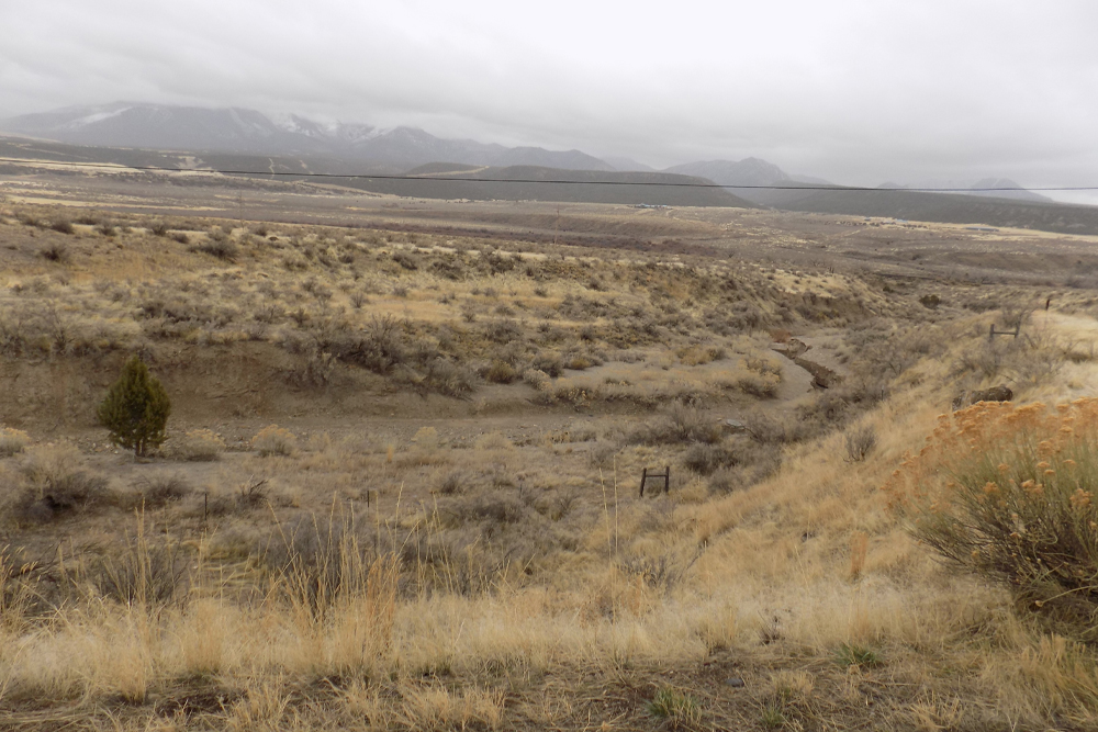
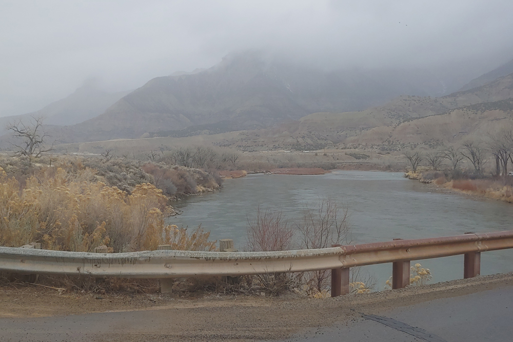
On the 5th we left Santa Rosalía, headed northwest, and went up an incline without troublesome rocks but extremely steep and dangerous when approaching the top, because there are winding turns where the path is no more than a third of a yard wide. The footing is of very loose white dirt, and so it is very easy for some horse to slip; and should it happen to lose its footing it would not be able to keep itself from reaching the level ground below. The ascent must be somewhat more than a quarter league long, counting the half already covered. We descended it through a spreading narrow valley which in places produces nothing but scruboak and chokecherry, and in others ponderosa pine and white poplar; then, after going a little more than four leagues to the northwest, we entered a small wood of juniper while swinging half a league north-northwest, and after a short stretch of sagebrush arrived at a river which our own call San Rafael164The Colorado River. The expedition went from the campsite of Santa Rosalía up Jerry Gulch and across the top of Battlement Mesa at a point about ½ mile east of Castle Peak, then down Alkali Creek to a place where it reaches the plain on the south bank of the Colorado River. There the trail turns northward to the point of crossing. The party camped on the north bank of the Colorado River approximately 1¼ miles downstream from the present Una bridge. and the Yutas Red River.
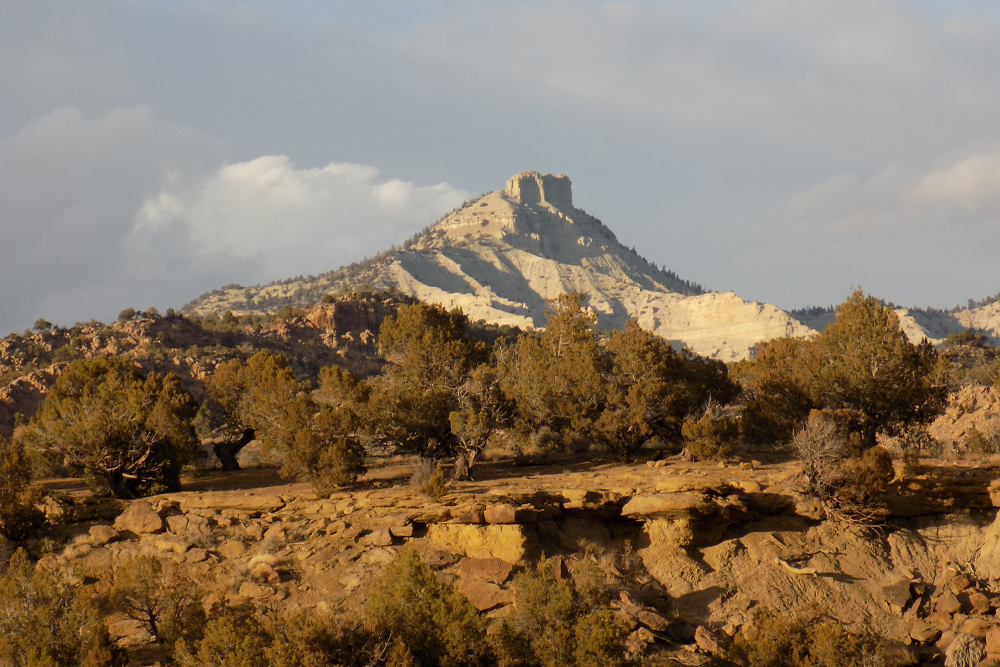
We crossed it and halted by its northern edge on a meadow of good pastures and a middling poplar grove. On this side there is a chain of high mesas which are of white earth from the top down to the middle and from the middle down evenly striated with yellow, white, and not too deeply tinged red ochre. This river carries more water than El Norte; it comes down, according to what they told us, from a great lake which lies in the high Sierra de los Sabuaganas165On August 20 the expedition had decided to turn eastward from Dolores River to the land of the “Sabuagana Yutas,” whom they later located on Grand Mesa. This is a vague reference to the headwaters of the Colorado River, one branch heading at Grand Lake just west of the Continental Divide in a segment of the Rocky Mountains lying north of the area where the Dolores and San Miguel rivers were said to head. See note 91 for earlier reference to Sabuagana Utes. next (toward the north) to La Grulla. Its course along here is to the west-southwest, and it enters the Dolores. At the ford it splits into two branches,166This must have been a temporary island in the river at that time. and the water reached the mounts above the shoulder blades. Some which crossed farther up from the ford swam in places. Everywhere we could see, the river has many rocks, and big ones; hence, whenever some party should find it necessary to cross it, it would be better to ford it before this on good horses. Today five leagues.167Slightly over 13 miles.
Tonight we observed the latitude and found ourselves at 40° 4′.168Actually closer to 39° 30′. Figuring that we had not come up that much since Santa Mónica, and fearing some defect in the observation, we decided to make it by the sun the following day, halting at the hour best suited so as not to detain ourselves here where the Sabuaganas might disturb us.
Scroll to the bottom to view photos.
Notable Event
They finally had reached the Colorado River. They took another reading that evening, but decided to take it again with the sun the next morning.Miller Report Summary
From that point the expedition left Plateau Creek northward, crossed Hayes Mesa and camped on the upper waters of Jerry Gulch. The following day the trek continued across Battlement Mesa about a half mile east of Castle Peak, then down Alkali Creek to the plain of the Colorado River. The party camped on the north bank of the Colorado after having forded that stream about a mile and a quarter downstream from the present Una bridge. The date was September 5.DEEEP’s Field Notes
Copyright © 2024, DEEEP Colorado. All Rights Reserved.
September 5, 1776
By Larry Clifton and Anis Kelly (1st DEEEP Member): Plateau Valley Historical Preservation Society
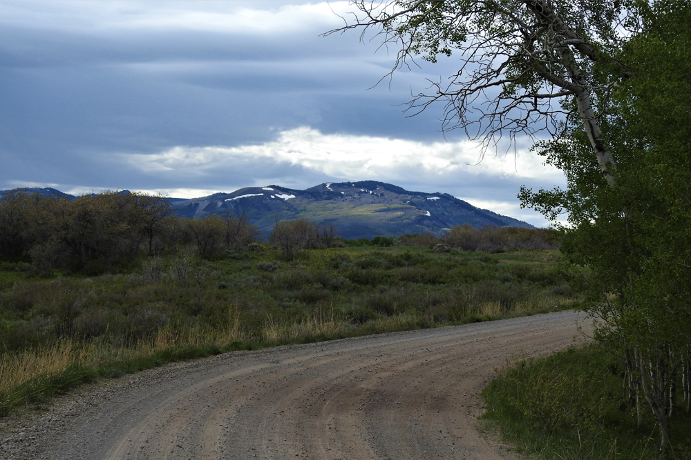
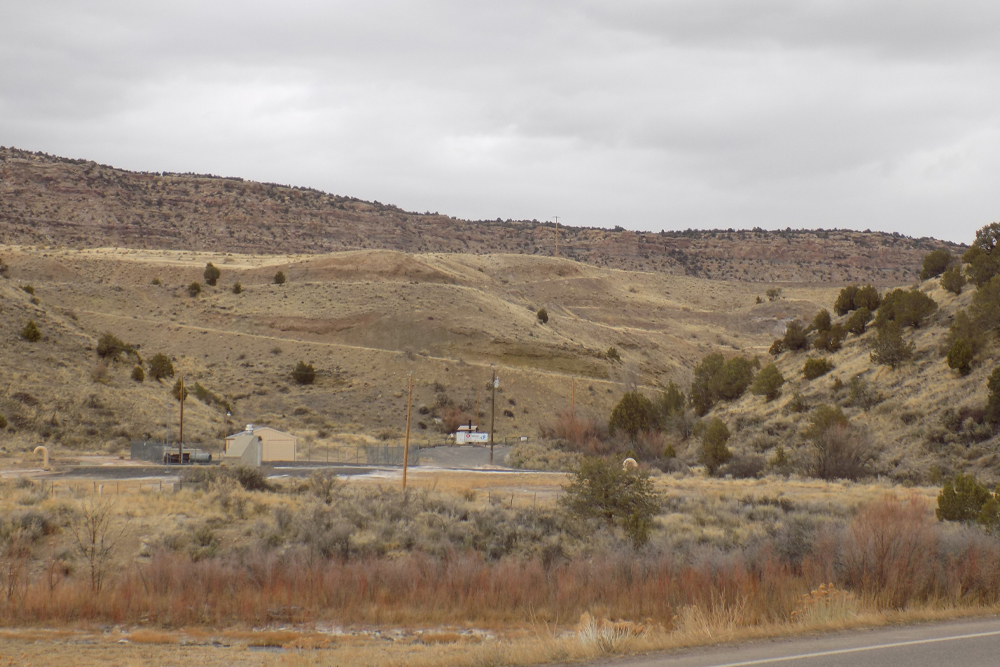
On September 5 the expedition left Santa Rosalía going up an “extremely steep incline (Raven Trail) of white dirt” (shale). Once reaching the top the expedition went northwest through a “spreading narrow valley,” (Wallace Creek), then going north-northwest to the San Rafael River (Colorado River).
The route that the Miller Team chose had the expedition going to Jerry Gulch, where they camped (Santa Rosalía) beside a rivulet of extremely cold water (Jerry Gulch is dry, only having water flow in spring due to snow melt). They then had the expedition cross over Battlement Mesa about one half mile east of Castle Peak. This area of Battlement Mesa is almost impossible to cross on foot, impossible for horses.
