September 4
Camp Name
St. Rosalie
Camp Name (Spanish)
Santa Rosalía
Brightness of the Moon
55%
Distance Traveled
6 leagues / 18.75 miles
Daylight
12 hours / 58 minutes
Water Resources
“A rivulet of extremely cold water”
Journal Description for September 4th
On the 4th we left San Silvestre and headed northwest, following the same arroyo. At a short distance we turned west-northwest and after two leagues swung northwest again, went up a very high incline leaving the arroyo’s box channel toward the south, and traveled among hills of various kinds of broom. We went down to another rivulet which flows into the arroyo mentioned; we crossed it, went up another incline with some rock and piñon growth, and after a quarter league almost west-southwest we crossed it again already joined with the arroyo. Here with tree sections the beavers have constructed ponds so big that they look like a more than medium-sized river at first sight. Then we went west along the southern side and over a sagebrush plain for three-quarters of a league, and we crossed it once more to continue along the other side and leave it to the south.
Having crossed it we took to the west-northwest, passed through a section of piñon growth, and came upon a sagebrush stretch where three Yuta women with a child were preparing the small fruits they had picked for their sustenance in the arroyos and rivulets hereabouts. We went over to talk to them, and right away they offered us their fruits, which were chokecherry, gooseberry, lemita, and some of this year’s piñon nuts. The gooseberry which grows in these parts is very sour on the bush, but when already exposed to the sun, as these Yuta women had it, it has a very delicious sweet-sour taste. We took up our day’s march, and after going a league and a half west-northwest from the rivulet mentioned (crossing another one next to the Yutas, at the exit of which there is a leaning rock about five palms high, shaped like a laundering place on which some horses slipped), we entered a narrow valley or small dale of good pasturage.
Here another trail comes in, the one which from Santa Monica and Río de San Xavier directly crosses over La Sierra del Venado Alazán — which we finished descending today — and is halfway shorter than the one we have been following. We turned northwest along the narrow valley for a little more than half a league. We went west-northwest once more, and after another half a league, going up and down a rather long and steep but rockless incline, crossed a rivulet of extremely cold water and halted by its edge, naming it and the little valley of good pastures that are here Santa Rosalia.161On Jerry Gulch, where a stream of cool water and pasturage existed. Tonight, and the one before, we were feeling the cold very much. Today six leagues162Fifteen and three-quarters miles. — 201 [in all].163According to their calculations they had traveled over 528 miles from Santa Fe. They seem to be mixed up. To September 1 they had journeyed 199 leagues, or 523 miles. Now, on September 4, they record 201 leagues in all having been traveled. Actually, since September 1 they had traveled 15 leagues, or 39 miles, making a total of 214 leagues, or 562 miles.
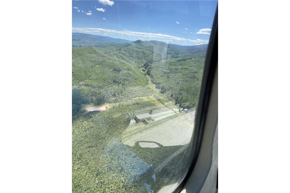
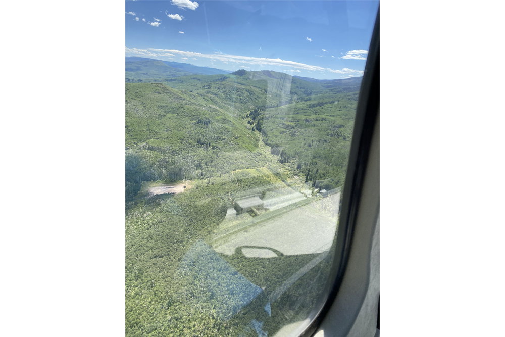
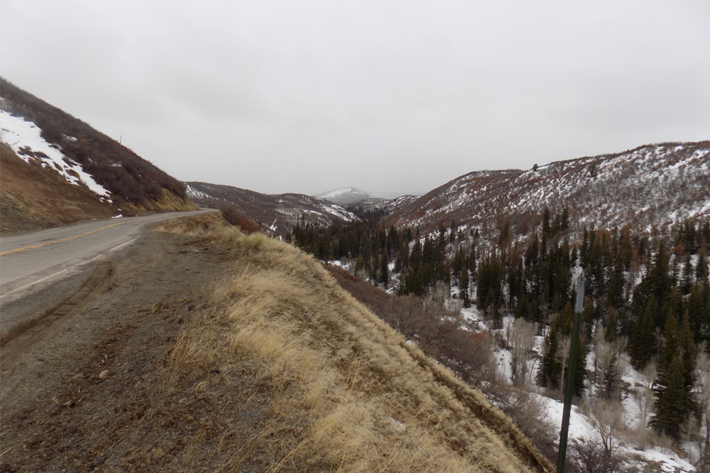
Scroll to the bottom to view photos.
Notable Event
They met three Yuta women with a child preparing fruit which they shared with them.Miller Report Summary
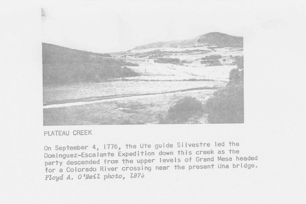
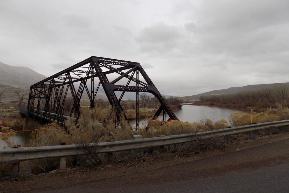
On September 4 the company continued down Plateau Creek past the mouth of Buzzard Creek. About two miles below Collbran, Plateau Creek was forded to the north bank; they followed it downstream to the approximate site of Fuller Bridge. From that point the expedition left Plateau Creek northward, crossed Hayes Mesa and camped on the upper waters of Jerry Gulch.DEEEP’s Field Notes
Copyright © 2024, DEEEP Colorado. All Rights Reserved.
September 4, 1776
By Larry Clifton and Anis Kelly (1st DEEEP Member): Plateau Valley Historical Preservation Society
On September 4 the expedition left San Silvestre following Groundhog Gulch to its mouth (“a short distance”) where it meets Buzzard Creek. They then turned west-northwest following Buzzard Creek to an area where the Buzzard Creek drainage narrows to form “a box channel”. (Up to this point Buzzard Creek drainage is wide and relatively level). Climbing out of the box channel on the south side of Buzzard Creek the expedition went across an area of “various kinds of broom” (Grifith & Blackman ranches). They dropped down to and crossed a rivulet (Brush Creek). Going up the other side they encountered some “rock and piñon trees” (the west side of Brush Creek is the first area to have piñon trees). They then turned west-southwest and crossed Buzzard Creek (Brush Creek having joined Buzzard Creek). They went west along the south side of Buzzard Creek because the north side is difficult to travel due to sandstone rims. When the north side of Buzzard opened up, they crossed back to the north side going west-northwest passing through “piñon growth and across a sagebrush stretch” where they meet Yuta women (Hawxhurst ranch). They crossed another rivulet (Hawxhurst Creek along which the leaning rock would be located) and continued west-northwest (across Hittle ranch) coming to a “small dale of good pasturage” (Smalley Gulch, no mention of water). They turned northwest going up along Smalley Gulch. (The west fork of Smalley Gulch runs northwest, most of the other drainages in the area run north or northeast). At the upper end of the west fork of Smalley Gulch is a ridge “steep but has no rocks” over which the expedition crossed dropping down to and crossing another rivulet of “extremely cold water” (Kimball Creek). The expedition camped alongside this rivulet naming the camp site Santa Rosalía.
