September 6
Camp Name
The near or left horse in a team
Camp Name (Spanish)
La Contraguía
Brightness of the Moon
34%
Distance Traveled
7 leagues / 18.5 miles
Daylight
12 hours / 54 minutes
Water Resources
Confluence of Brush Creek with Roan Creek
Journal Description for September 6th
On the 6th we set out westward from the meadow and Río de San Rafael (where there are no prospects for a settlement). We went half a league downstream, another half through some narrow valleys to the west-northwest leaving the river to the south, to the northwest a quarter of a league, and through deep passes without rock for a league and a quarter west by west-northwest. We went west-northwest for about a mile and, after having gone nearly two more leagues west¬ward over broken terrain with some stone and a lot of small pear cactus, went down to a little valley through which a small river of good water flows. At its edge, next to the only poplar that there is, and at eleven in the morning, we halted, ordering some companions to keep on going with the loose and loaded animals. The meridian was taken, and we found that we were at 41° 6′ 53″ latitude169Perhaps just slightly more than the observation of the previous night. They were at approximately 39° 33′. and that there had been no error in last night’s observation. We caught up with the other companions, who had stopped and were disgusted with the guide after having gone two leagues northwest; for, by leaving a trail which went upstream toward the west, and which seemed more direct according to reports, he was leading us along another one which enters a canyon and goes directly north — saying that the trail, even though it went northward through the canyon, made a turn to the west.
The companions conversant with the Yuta language tried to convince us that Silvestre the guide was leading us by that route either to keep us winding about so as not to proceed further or to hand us over to a Sabuagana ambuscade that could be awaiting us. To make the guide more suspect to us, they assured us of their having heard many Sabuaganas at the encampment telling him to lead us on the trail which went to the lake and, after having kept us needlessly winding around for eight or ten days, to make us turn back. And even though it was not altogether incredible that some could have said this, we never believed that the guide had agreed to it, nor even that it had actually happened, because not one of these companions of ours had told us anything like it up to here— the fact being that, while at the encampment, they did not cease magnifying other less fearsome difficulties, and more likely ones, and that in any ill event they risked only a bit less than we did.
We were well aware that in going north we were faced with a greater detour, but since Silvestre said that he led us up along that route because there was a bad upgrade on the other, we preferred to follow his judgment; but all the companions, except Don Joaquín Laín, argued hard for taking the other route, some because they overly feared the Comanches — and without foundation — and others be¬cause that route did not square with their own pet opinions, which were opposed to ours in no small degree. Then there arrived a Sabuagana Yuta, of the most northerly ones, and said that the north trail went up very farther on. As a result, we had to continue west¬ward and, after going two leagues and crossing another rivulet, we halted by its edge, naming it La Contraguía.170The campsite was near the confluence of Brush Creek with Roan Creek. Today seven leagues.171About 18.5 miles.
Here were three camps of Sabuaganas, from which six men came over to our king’s camp, among them one who had just come from the land of the Yamparica Comanches, where he had gone to steal horses with four others; and he said that the Comanches had gone farther away and that, from what the tracks showed, they were going to El Río de Napeste172The Arkansas River. or to the east. With this report our companions felt somewhat more at ease. These Sabuaganas were the last ones we saw.
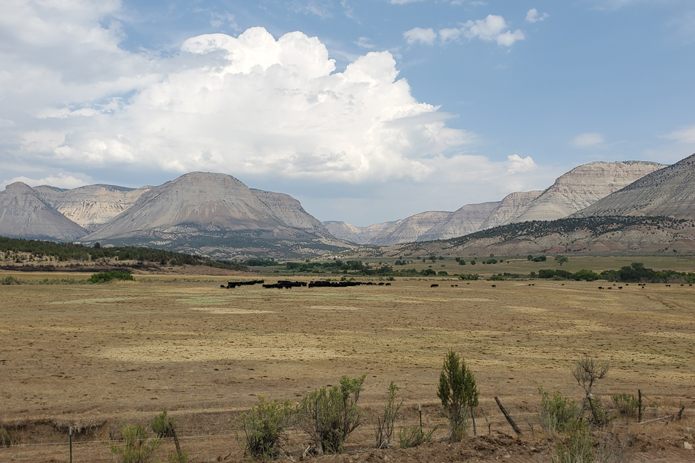
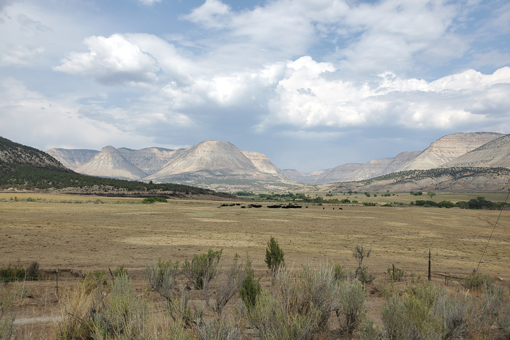
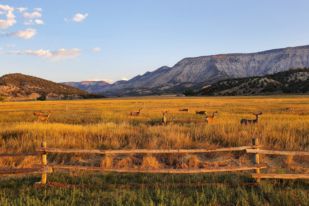
Scroll to the bottom to view photos.
Notable Event
N/AMiller Report Summary
On September 6 Silvestre led the expedition westward to Roan Creek where they arrived about a half mile below the point where Logan Wash enters the Roan. The party then followed Roan Creek upstream past the confluence of Clear Creek to camp at the mouth of Brush Creek.DEEEP’s Field Notes
Copyright © 2024, DEEEP Colorado. All Rights Reserved.
September 6, 1776
By The Canyon Pintado Team: Daniel Fiscus, Vice President, Rangely Outdoor Museum; and an anonymous professional government advisor
The expedition departed from their meadow camp located immediately north of the Colorado River, which they named Río de San Rafael. They headed west-southwest, only following the river for one league, approximately 2.6 miles, before leaving the river to continue northwest for about 6.5 miles along the base of Mount Logan to reach Roan Creek. Traveling north along the creek for about 2.5 miles, the party regrouped over a disagreement with their guide Red Bear/Silvestre. Their concerns for continuing north were based on facing an even greater detour on top of the potential for encountering the Comanches, who most of the members of the expedition feared and wished to avoid. Ultimately, upon Silvestre’s insistence of northward having the better terrain in addition to reassurance from a Sabuguana Ute who coincidentally arrived during that time to meet the party, they somewhat reluctantly continued north-northwest along Roan Creek for another 5 miles, crossing Clear Creek and continuing a short ways further before reaching three camps of Sabuaguana Utes and establishing their camp, naming it La Contraguía.
