September 3
Camp Name
St. Sylvester (patron saint of Fr. Escalante)
Camp Name (Spanish)
San Silvestre
Brightness of the Moon
66%
Distance Traveled
7 leagues / 18.5 miles
Daylight
13 hours
Water Resources
Not specific, but described as "abundant"
Journal Description for September 3rd
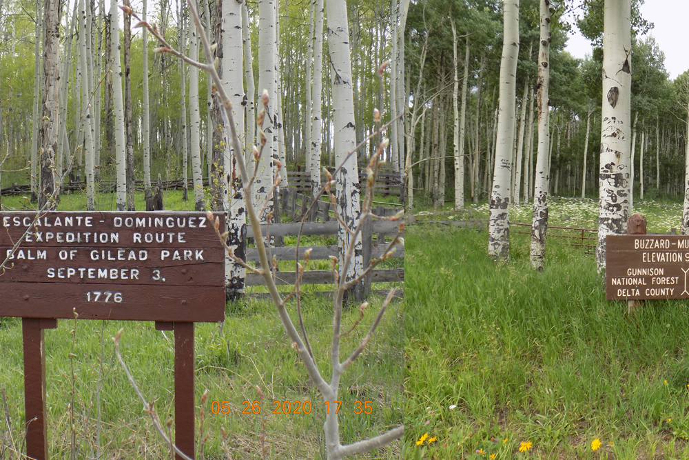
On the 3rd it rained again very early, and we had to wait for it to stop; then, about eleven, we set out from San Atanasio toward the north. At a quarter of a league we took to the northwest and traveled two leagues and a quarter through a valley of many poplar groves and spruce and very abundant in pasturage and water.157Buzzard Park. They traveled the south face of Bronco Knob at the 9,800-foot level northwest through Wagon Park and Plateau Park and down Plateau Creek to the Meadows. At the west end of the Meadows, Plateau Creek becomes the deep arroyo mentioned. We turned north-northwest one league, then northwest somewhat more than a league and three-quarters over good and stoneless terrain, although with some hills, passing through rather troublesome forests of spruce and poplar and clumps of scruboak. We turned north-north west again for a quarter of a league through a low, narrow valley in which enough water flows to fill two middling furrows; and although it does not continue all through the narrow valley, since it disappears completely in some places, running in spots and in others reappearing in waterholes like ponded rainwater, it seems to be perennial because throughout the entire narrow valley there were huts and tiny dwellings, which indicate that it is a camping site for these Yutas. Following the box channel of an arroyo in which said water disappears and reappears along the northern side and to the northwest, we went a league and a half and halted in it almost at the foot of a bluff which the Yutas call Nabuncari,158Campbell Mountain. we naming the site San Silvestre.159Named by the explorers after Father Escalante (Fray Silvestre Vélez de Escalante). It appears that the explorers themselves named at least one place after each member of the expedition. The placing of numerous Escalante placenames in Utah came much later. The campsite was located west of the northern peak of Campbell Mountain. Today seven leagues.160Almost 18.5 miles.
Scroll to the bottom to view photos.
Notable Event
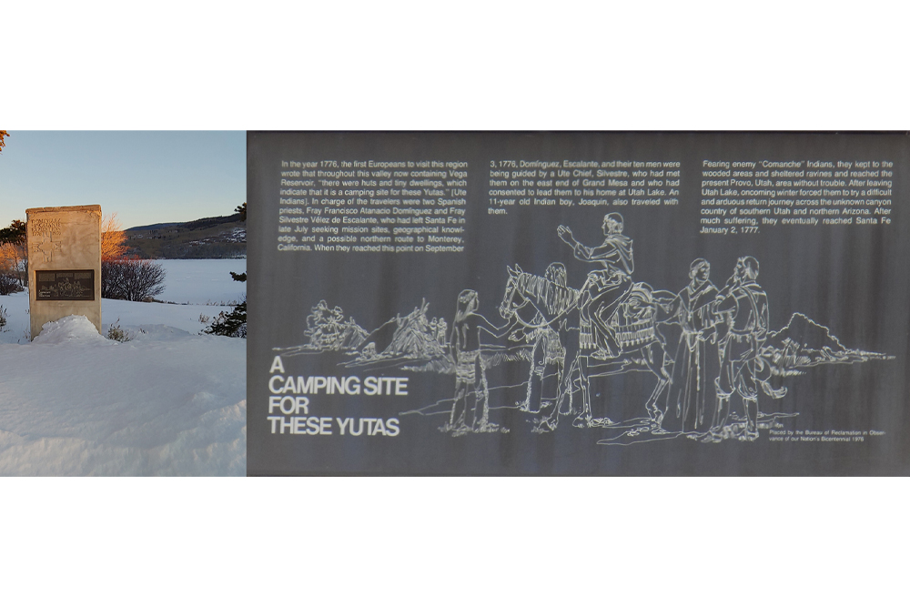
The Journal for this day reads “there were huts and tiny dwellings, which indicate that it is a camping site for these Yutas”. The researchers and DEEEP members tried long and hard to find the Ute translation for the word “Nabuncari” which was found in this quote: “at the foot of a bluff which the Yutas call Nabuncari.”Miller Report Summary
September 3 found the expedition again in motion. After crossing northward to avoid a high elevation—they were already traveling at the 9,800-foot level—the company passed over into Plateau Creek (Escalante’s deep arroyo) which they followed downstream to the meadows.
DEEEP’s Field Notes
Copyright © 2024, DEEEP Colorado. All Rights Reserved.
September 3, 1776
By Larry Clifton and Anis Kelly (1st DEEEP Member): Plateau Valley Historical Preservation Society
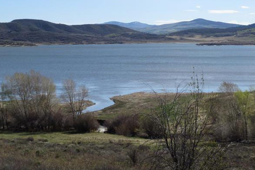
At the end of the day on September 2, 1776 the Domínguez-Escalante Expedition camped at a site they called San Atanasio , somewhere in the area of present-day Overland reservoir. Peters Creek seems to fit the camp site location due to the directions and distances traveled the next day.
It rained heavily that night and early the next morning. This caused the expedition to get a late start on September 3 (11:00 a.m.). Despite the heavy rain, which made the soil slick and sloppy, and getting a late start, the expedition still traveled 7 leagues, the longest distance traveled in days before and days after. This means that their route had to be an easy one with not a lot of up and down terrain.
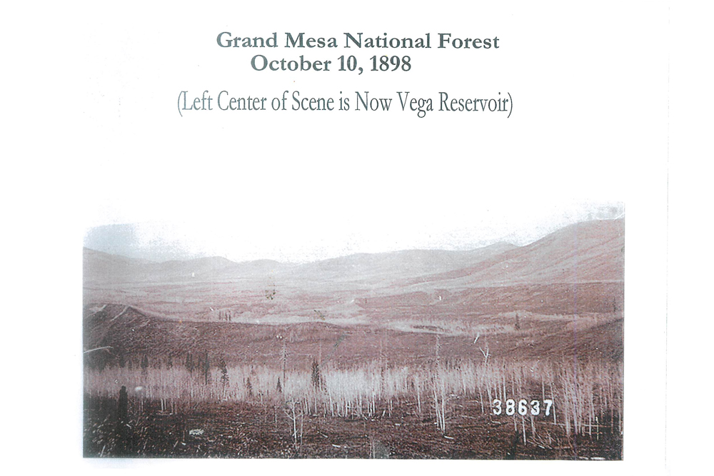
Leaving San Atanasio on September 3 the expedition went north up open ground with a gentle slope into Willow Park. They crossed the south end of the park, then followed a game trail down to Plateau Creek. They then followed Plateau Creek (gentle down-sloping terrain). There are many groves of aspen and spruce along this route along with abundant pasturage and water (Stillwater Park). Continuing north- northwest they went over “good and stoneless terrain” (the Meadows, present day Vega Reservoir). Then going through “rather troublesome forest of spruce, aspen and clumps of scrub oak,” they went over the saddle down into Groundhog Gulch which is a low, narrow valley with a spring that flows a small amount of water (“enough water to fill two middling furrows”). The water does not flow to the mouth of the gulch but does “disappear and reappear in spots.”
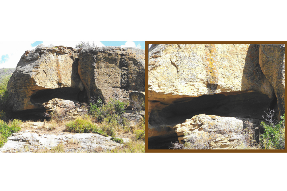
There are several sandstone rims located in Groundhog Gulch. The expedition camped at “the base of a bluff “(a sandstone rim) that “the Yutas called Nabuncari.” The campsite was called San Silvestre. In 1976 the Miller Team researchers decided that the bluff was Campbell Mountain. However, Campbell Mountain is a large mountain that has no bluffs anywhere on it.
