September 2
Camp Name
Named after Father Domínguez
Camp Name (Spanish)
San Atanasio
Brightness of the Moon
76%
Distance Traveled
3 leagues / 7.89 miles
Daylight
13 hours / 2 minutes
Water Resources
Cow Creek, Dyke Creek, several tributaries of West Muddy Creek
Journal Description for September 2nd
On the 2nd of September, quite early, the same ones assembled in our king’s camp, and even more than yesterday afternoon. Again they began pressing the arguments mentioned above, adding another new and grave impediment, for they completely dissuaded the Laguna from his intent of leading us and made him give us back what we had given him for accompanying us to his country. After having argued for more than an hour and a half, without getting the guide to take back what he had received and to keep his word — or them to quit opposing us — we told them with the firmness such an urgency called for that, after the Laguna had willingly agreed to accompany us to his country and they had put up so many obstacles, we clearly knew for certain that it was they who deprived us of the guide and impeded our journey, that we would not turn back no matter how much they tried, that we would go ahead even without a guide, but that if the Laguna did not come with us they should know that from then on we no longer considered them our friends.
Thereupon they lost their self-assurance, and the above-mentioned youth, brother of Chief Yamputzi, addressed the others and said that, since they had granted us passage and the Laguna had agreed to guide us, placing obstacles before us was no longer appropriate and that they should therefore stop talking about this matter. Another one, who was also said to be a chieftain, followed him with the same exhortation. Then all of them told the Laguna that he could no longer refuse to accompany us. He, because of what they had told him before, no longer wanted to. After much urging and coaxing he accepted his pay, although with some reluctance, and agreed to accompany us.
The encampment was already changing location, and they were on the march to where Chief Yamputzi was, at the time we were leaving the painful Paraje de San Antonino Mártir.152On Cow Creek where Fawn Creek discharges into it. We did not know what direction to take, because the guide, regretting the deal, did not want to go ahead or show us the way. He stayed behind at the encampment’s site with the horse we gave him, under the pretext of looking for a saddle, while we continued along the route the Sabuaganas took, although against our will because we wanted to get away from them. We ordered the interpreter to get him back right away and to try to comfort him. He did so, and, when all the Yutas were gone, the guide now said which way we were to take and sent the interpreter to bring us back to where he had stayed. Here we found him taking leave of his other countrymen who were remaining with the Sabuaganas, and they charged him to conduct us with care, telling him how to apportion the day’s marches. Besides the guide Silvestre, here we found another Laguna, still a boy, who wanted to go with us. Since we had not known of his intent, we had not provided a mount for him, and so to avoid further delay Don Joaquín Laín pulled him up hind-saddle on his own.
With utmost pleasure did we leave the route which the encampment was taking, and with the two Lagunas— Silvestre and the lad whom we named Joaquín153Joaquín accompanied the party to Utah Lake and then on to Santa Fe. He became greatly attached to the padres and they to him. Even after reaching his people at the lake, Joaquín would not leave the padres and stayed “glued to the padre” and slept by his side. See entry for September 23. He was later baptized in Santa Fe. — pursued our own travel plan and, after tracing back a league toward the west of San Antonino, we took another trail; we traveled less than a league and three-quarters northwest and more than a quarter west-northwest and halted in a short valley of good pastures near a rivulet of good water, which we named San Atanasio.154Undoubtedly named after Father Domínguez (Fray Francisco Atanasio Domínguez). Leaving San Antonio Mártir the expedition went up Cow Creek. They crossed over to Dyke Creek over a pass westward of Chimney Rock and camped in the extreme portion of Mule Park on the upper West Muddy Creek. Today we traveled three leagues155That is, 7.89 miles. over good terrain and through a poplar grove and clumps of scruboak but advanced two leagues156Five and a quarter miles. only. Tonight it rained heavily.
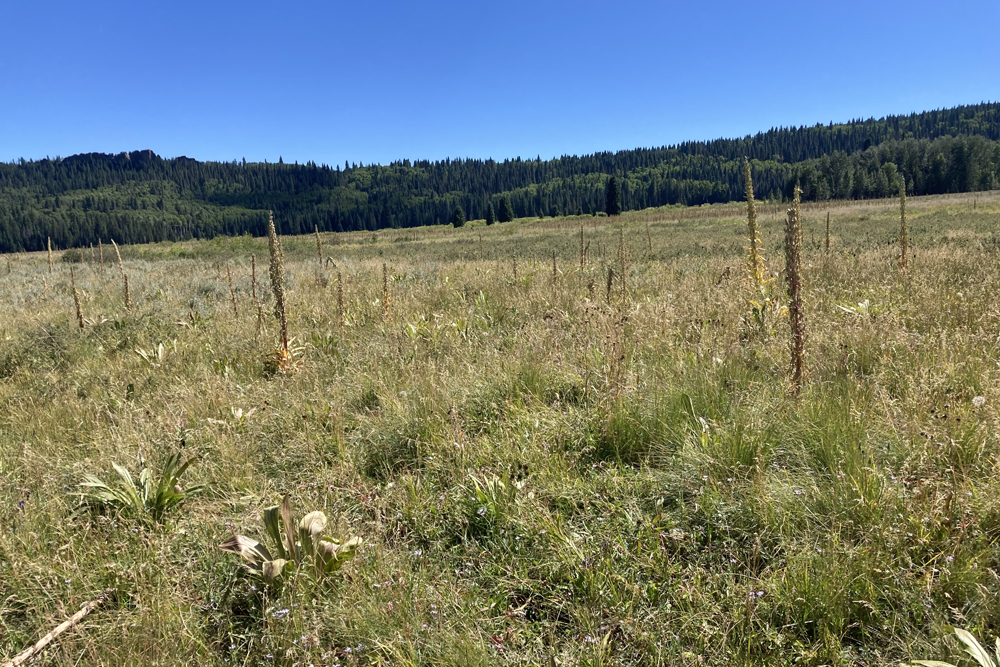
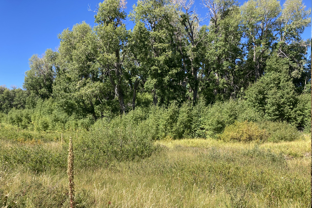
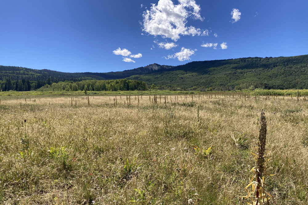
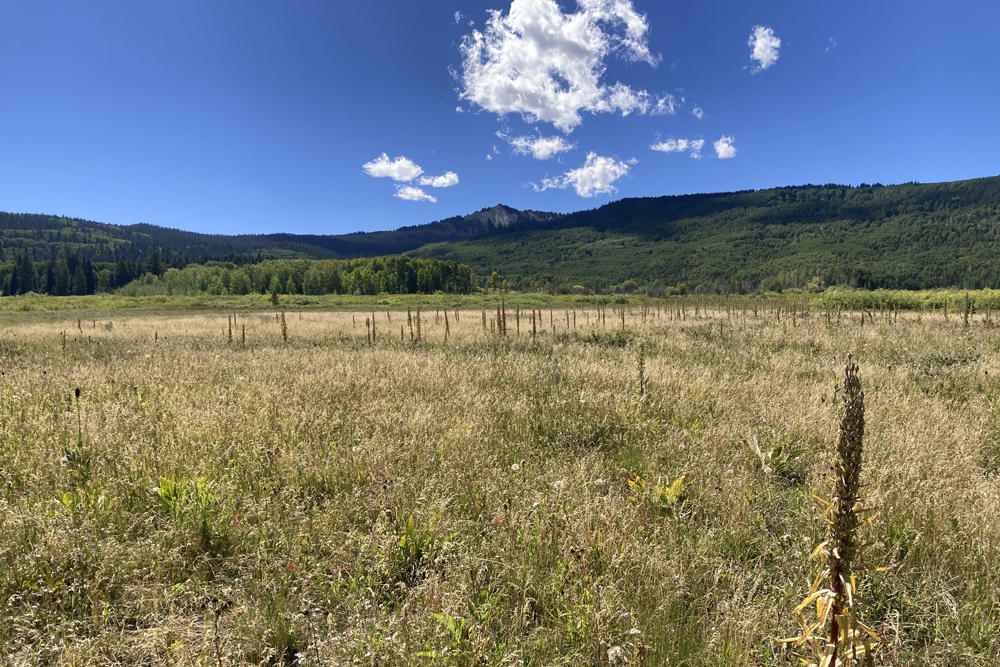
Scroll to the bottom to view photos.
Notable Event
Domínguez and Escalante were able to finally conclude negotiations with the Sabuagana Utes to allow the expedition to pass through their lands and travel on to the homelands of the Laguna Utes in Utah. They were also able to convince one of the Laguna Utes to guide them. They named this individual Silvestre. Then at the last minute a second Laguna Ute decided to accompany them. This was a boy, whom they named Joaquín. These negotiations apparently took much of the morning to conclude. This brought the total number of the company to 15 members.
Miller Report Summary
Early the next morning the conference continued. The main thrust on the part of the Indians was an attempt to dissuade the Spaniards from continuing westward. But the padres were determined to push forward, and finally were able to convince the Laguna, Silvestre, that he should keep an earlier promise and guide them to his people. Also on September 2 a second Laguna Indian, a boy of eleven years, stepped forward, wishing to accompany the expedition. His offer was accepted. Given the name of Joaquin, he eventually accompanied the padres all the way back to Santa Fe. (The addition of Silvestre and Joaquin increased the expedition’s number to 14.) Meanwhile the Indian camp was breaking up and the Spaniards were happy to get on the move. The trail they followed led westward up Cow Creek, over into Dyke Creek and thence by way of a pass westward from Chimney Rock. They camped on upper West Muddy Creek just inside present Mule Park.DEEEP’s Field Notes
Copyright © 2024, DEEEP Colorado. All Rights Reserved.
September 2, 1776
This was one of the easier routes and campsites to evaluate. It appears that the description in the Miller Report is fairly accurate, if a bit sparse. We believe that the expedition traveled northwest up Cow Creek for a league and three-quarters or approximately 2½ miles. Approximately where the Overland Reservoir Road, FSR 705, connects to the Steven’s Gulch Road, FSR 701. They turned northwest, crossing over to Dyke Creek and following it northwesterly to just past Chimney Rocks, or approximately 1½ miles. They turned north crossing the pass over into Mule Park. They traveled west-northwest through Mule Park for another 1½ miles stopping on the fork of West Muddy Creek that runs just south of the “Balm of Gilead” Grove (See the sidebar on the “Balm of Gilead” Grove.) This puts the campsite right next to the grove. We identify the site as being located in T.11S., R.92W., NE¼SW¼ S.1, 6th P.M. or 39°07’47” N, 107°36’43” W. Elevation 9,000 feet. The distance from the San Antonio Mártir campsite on Cow Creek to the San Atanasio campsite along West Muddy Creek in Mule Park, following this route, it is just over 5 miles, as measured with the measuring tool on the Delta County GIS website.
