August 8
Camp Name
No Name
Daylight
13 hours / 53 minutes
Brightness of the Moon
30%
Distance Traveled (Leagues)
8 leagues
Distance Traveled (Miles)
21 miles
Water Resources
Los Pinos, Florida and Animas Rivers
Journal Description for August 8th
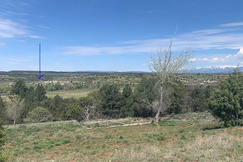
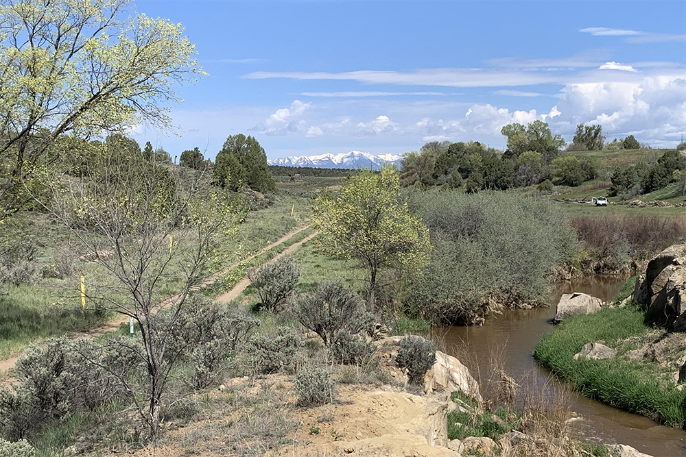
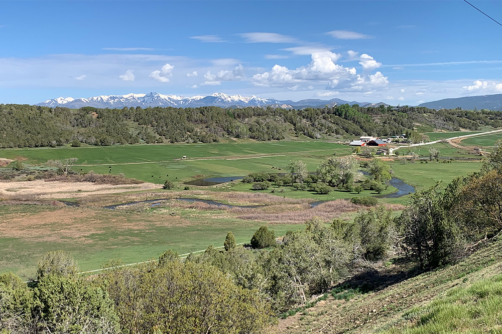
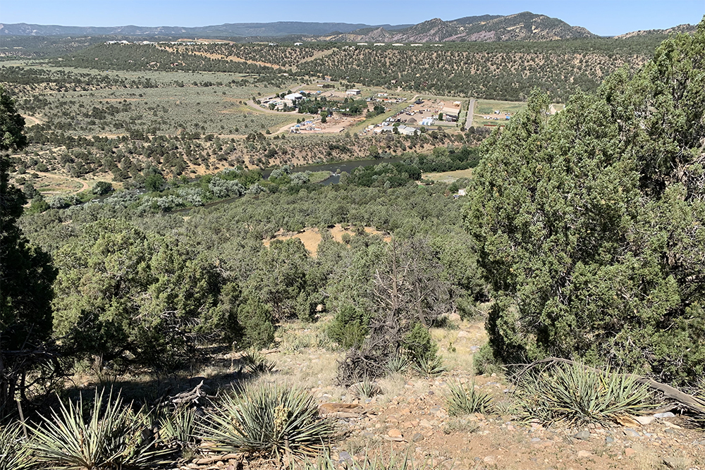
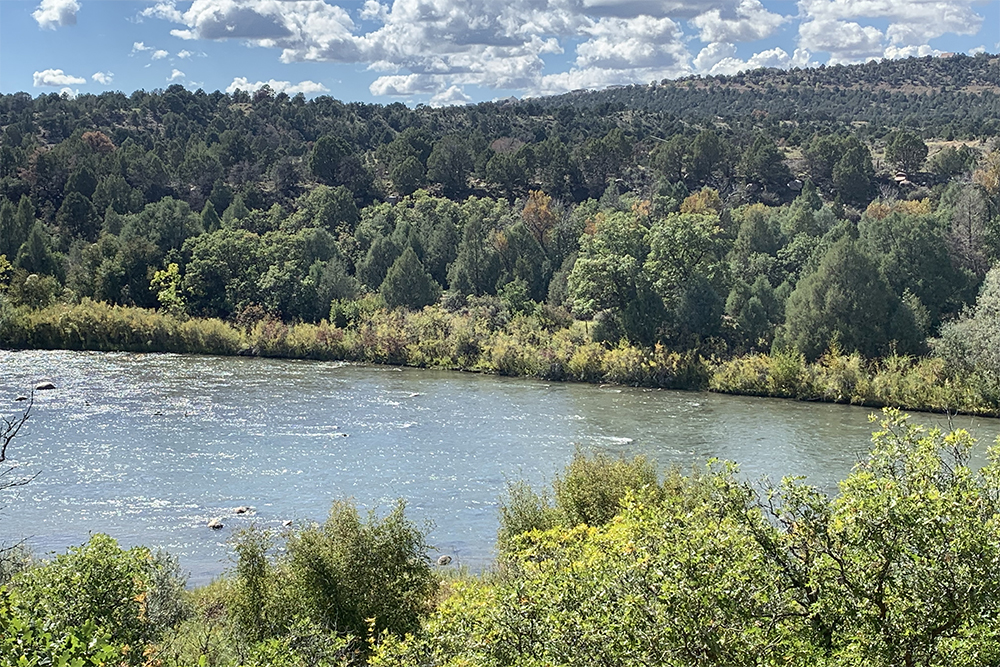
On the 8th we set out west-northwest from La Vega de San Cayetano and Río de los Pinos,51 The Río de los Pinos is the Pine River and is still so designated on some maps.and at the end of four leagues arrived at El Río Florido,52The Florida River. They crossed it in the vicinity of the present bridge on Colorado State Highway 172. Downstream from here the land is quite rocky and arid, although near the bridge there is good pasturage, as alluded to in the diary. which is medium sized and smaller than that of Los Pinos. It rises in the same sierra farther to the west, and where we crossed it has a larger meadow, of good land for farming with the aid of irrigation. The pastures on the meadow are good, but not in the immediate vicinity, although it evidently has them in wet years. Having crossed El Río Florido, we traveled west two leagues and west-northwest a little more than another two. We went down a rocky and not too lengthy incline and arrived at El Río de las Ánimas,53Probably somewhat south of Colorado State Highway 172 toward Farmington Hill, which they descended to the Animas River and crossed it. They camped on the Animas River, on its west bank, on a level spot directly west of the livestock sale barn about four miles south of the city limits of Durango, Colorado. near the western point of La Sierra de la Plata where it has its origin. We crossed it and halted on the opposite side. It is as large as El Norte, and now carried somewhat more water and with greater rapidity, because here its currents, which run from north to south, have a steeper fall, and it flows like the foregoing ones into the Navajó. Through here it runs through a box channel, but farther down it is said to have good meadows. Today eight leagues, a little more.54Twenty-one miles. There is no good pasturage here, but there is some a little farther on.
Scroll to the bottom to view photos.
Notable Event
N/AMiller Report Summary
After leaving the Los Pinos camp on August 8, the padres continued in a northwesterly direction and forded the Florida River near where Colorado Highway 172 bridges that stream. From the crossing of the Florida the trail continued generally northwestward, south of Highway 172, to reach and ford the Animas River. The Miller Report team of Dr. Robert Delaney and Robert McDaniel believed the campsite was directly west of the site of the Basin Livestock Commission’s sale barn (since demolished) on the west side of the river— some four miles south of Durango’s city limits.
DEEEP’s Field Notes
Copyright © 2024, DEEEP Colorado. All Rights Reserved.
August 8, 1776
By Robert McDaniel: DEEEP Team Member
Research and analysis by Robert L. McDaniel: Dr. Robert W. Delaney and I comprised the team that did the fieldwork for this section of the trail in the summer of 1975 for the Miller report. For most of the route the expedition followed on August 8th, I would generally agree with our assessment done in 1975, with a couple of notable exceptions. As such, following are my comments based on my current research and thinking:
- After studying the terrain in the mile or so south of the town of Ignacio, the path of least resistance out of the valley of the Pine River is to follow Rock Creek, which enters the Pine River about a mile or less south of Ignacio. It’s therefore quite possible that the campsite of La Vega de San Cayetano on the Pine River may have been near the mouth of Rock Creek. Indeed, Bolton states this campsite was “On the Los Pinos River just south of Ignacio,” and the Miller report states that “It is our belief . . . that they camped not more than a mile south of the present-day town of Ignacio.” Upon leaving this campsite on August 8th, it seems highly likely that the expedition followed Rock Creek for some distance, thereby avoiding what’s now known as Rattlesnake Hill on the south and the low hills to the north of Rock Creek. One hundred five years after Domínguez and Escalante passed through here, the Denver & Rio Grande Railroad built its San Juan Extension line up Rock Creek on the way to Durango in 1881, attesting to the fact that Rock Creek offered the most efficient route west out of the Pine River Valley.
- There is general agreement on the expedition’s route to reach and cross the Florida River near where Colorado Highway #172 crosses that stream. I believe the expedition’s crossing was probably just south of the highway crossing and continued across the Florida Mesa, probably passing just south of present-day Pastorius Reservoir.
- My biggest revelation in studying the expedition route through southwest Colorado and the Durango area is that I’m now as certain as I can be that the expedition camped on the Animas River farther south than both Bolton and the Miller team previously thought, and the expedition followed a completely different route to reach Ridges Basin than was apparent to the Miller team. By way of explanation, there are a number of points to make:
• The expedition almost certainly descended the Florida Mesa at or near what’s now known as Farmington Hill, where the old U.S. Highway 550 route tops out onto that mesa (Highway 550 in this area is currently being re-routed to circumvent the problematic Farmington Hill section). There is general agreement about this in the various accounts of the expedition. The Old Spanish Trail, established some 53 years later, generally followed Domínguez and Escalante’s route, but descended the Florida Mesa to the Animas River via Wilson Gulch, the current route of US Highway 160 and a short distance to the north of Farmington Hill.• The Animas River is not an easy stream to ford in this area because of the numerous large rocks in the riverbed. I know this from personal experience as a fly fisherman and former raft guide (neither Delaney nor I had that kind of insight in 1975). Therefore, I believe the expedition would have picked an area of the river to cross that was relatively wide, shallow, and free of large rocks. Such a ford exists at or near the bottom of the slope off Farmington Hill. Farther upstream, where Bolton believed they crossed and camped (near Moving Mountain), the river is more difficult to ford and would have involved a deviation from the more direct route they almost certainly took the following day. Russon believes the expedition camped further south on the Animas than did Bolton, and I agree with his assessment.
• Bolton states, and the Miller Report agrees, that the expedition crossed and camped across from the old Livestock Sale Barn (demolished many years ago). In agreeing with Bolton, Dr. Delaney wrote that they camped near the south end of Moving Mountain, in part, because of “the probability that they would try to camp on [the] river at about the point where the [sic] intended to leave it and proceed across country.” There is no doubt in my mind that the prospect of traveling upriver from the south end of Moving Mountain along the west bank of the river to reach a point where they could turn west would deter them. I doubt they even considered it because the hillside along there is steep (the area of Escalante’s “box channel”). It would have been a far more difficult route than the more direct path they almost certainly took the following day west of the river through present-day Animas Air Park and up Basin Creek.
• The question, of course, is why wasn’t this evident to us in 1975? I believe the answer lies in the fact that the route through Animas Air Park and up Basin Creek was unknown to us and inaccessible in 1975. Animas Air Park wasn’t developed until a few years later, it was private property, and there were no roads onto Blue Mesa (where the air park was eventually developed). We, the Miller Team, simply took Bolton at his word. Dr. Delaney and I were too quick to believe the expedition reached Ridges Basin through what’s now Bodo Industrial Park, traveling a route that would have paralleled County Road 211 (now CR 210). That path would have required traversing a steep, rocky side hill above the river, riding and driving the livestock. It makes little to no sense that they would have gone that way.
