August 7
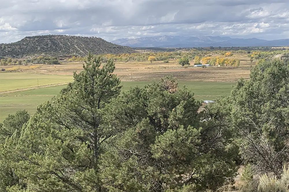
The meadow or lowlands of San Cayetano.
Camp Name (Spanish)
La Vega de San Cayetano
Brightness of the Moon
40%
Daylight
13 hours / 54 minutes
Distance Traveled
6 leagues / 16 miles
Water Resources
San Juan, La Piedra Parada (Bolton: River of the Standing Rock) and the Los Pinos
Journal Description for August 7th
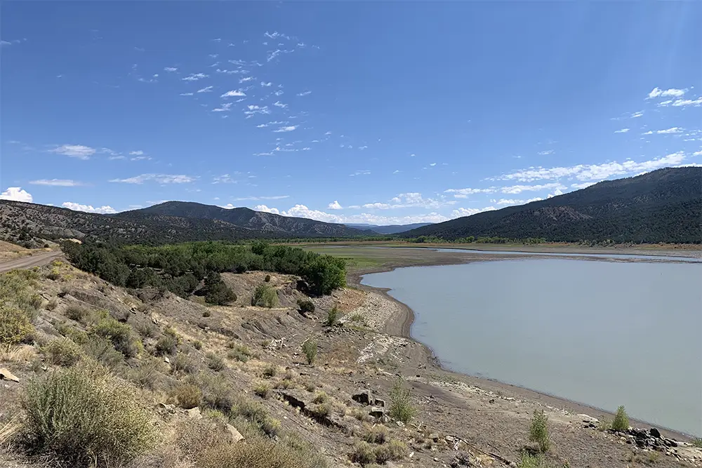
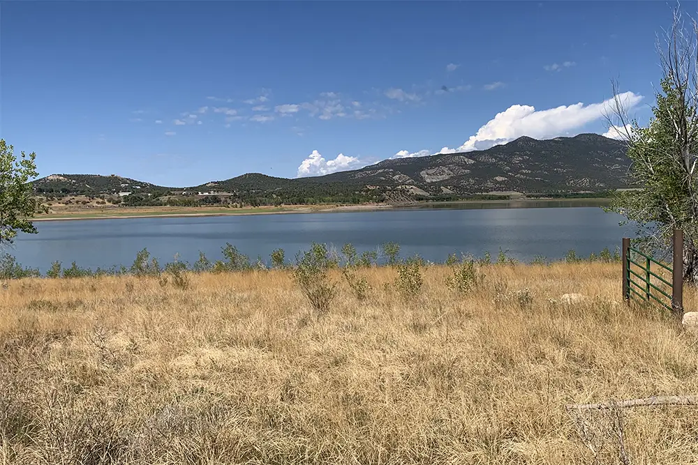
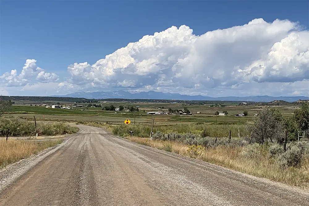
On the 7th we continued west along the river’s edge and adjacent mesas’ slopes for a little more than a league, and we went up a difficult incline. We turned northwest, and after another league we arrived at the river called La Piedra Parada, very near to where it joins the Navajó [San Juan]. Here it has a very large meadow, which we named San Antonio, 46Name not applied to this place today. It was the flat land close to the San Juan River west of Carracas, Colorado. It is in irrigated crops now. of very good land for farming with the help of irrigation, together with all the rest that a settlement requires by way of firewood, stone, timber, and pastures— and all close by. This river rises to the north of the San Juan in the same Sierra de la Grulla, runs from north to south, and is a little smaller than the Chama where it passes through El Pueblo de Abiquiú. Having crossed this river we traveled west two leagues, somewhat more than another two west-northwest, and arrived at the western edge of the river called Los Pinos because some grow along its edges. It consists of very good water and is a bit smaller than El Norte; 47They were doubtless referring to the Rio Grande.it flows through here from north to south, enters the Navajó [San Juan], and rises out of La Sierra de la Grulla near its western end, where they call it Sierra de la Plata.48 Means “The Silver Mountains.” The La Plata Mountains today. Here it has a large meadow, very abundant with pastures, especially of grama grass, extensive and good lands for farming through irrigation, with all the rest that may be desired for a goodly settlement. We stopped in it, naming it La Vega de San Cayetano.49 The flat land along the Pine River south of Ignacio, Colorado. The name is not in use today.Today a little more than six leagues.50Close to 16 miles.
Scroll to the bottom to view photos.
Notable Event
Illness of Don Bernardo MieraMiller Report Summary
On August 7 the expedition left the San Juan Valley, keeping on the slopes to the north. The trail crossed the Piedra River about a mile above its confluence with the San Juan, probably passed through the present site of Arboles and, then passed near Allison and Tiffany to the Los Pinos River which the company forded just south of present-day Ignacio. During the day they caught their first good view of the La Plata Mountains, along the southern edge of which they intended to travel.
DEEEP’s Field Notes
Copyright © 2024, DEEEP Colorado. All Rights Reserved.
August 7, 1776
By Robert McDaniel: DEEEP Team Member
DEEEP’s Research for August 7, 1776 was thought to be relatively easy, but when all the resource material, maps and information from on-the-ground visits were compared, there seemed to be two confusing inconsistencies. Maps, photos and links to the resource material mentioned have been provided here. DEEEP Team member, Robert McDaniel, who was also on the Miller Team that researched and wrote this section, also provided input which was very helpful and appreciated.
Let’s begin by giving you a map and directions to this section of the expedition route. From Ignacio, travel east on Colorado Highway 151 to Arboles and the entrance to the Navajo State Park. At this point, Highway 151 turns north for about three miles to where the entrance to Archuleta County Road 500 is on the east side of the Highway. Turn right (east) onto C. R. 500. An important note: ownership of the land along this road is checkerboarded. The land on both sides can be private, state-owned (e.g., Navajo State Park), or part of the Southern Ute Reservation. Permits are needed for the Reservation and State Park. The best plan is to take any photos from your car. Travel about 6 to 7 miles to Sandoval Canyon/Creek. It is easy to recognize as a large steel structure spans the creek and lies parallel to the bridge. Turn around and go a mile back. The campsite location for August 6, 1776 was on the river’s edge and can easily be seen from the road. The expedition’s travels for August 7th begin here.
The first of the inconsistencies is found at the beginning of the Journal entry.
“On the 7th we continued west along the river’s edge and adjacent mesas’ slopes for a little more than a league, and we went up a difficult incline. We turned northwest, and after another league we arrived at the river called La Piedra Parada, very near to where it joins the Navajó.” (Taken from Fray Chavez’s translation found in Warner’s The Domínguez-Escalante Journal.) The second inconsistency lies in the location of settlement of Arboles.
Robert McDaniel, who with Dr. Robert Delaney formed the Miller Report team that researched this section of the expedition’s route, offered the following explanation for these two inconsistencies:
The first point of confusion is the reference to the Navajo River. When the expedition first entered Colorado, they camped near what is shown on today’s maps as Carracas. Escalante left the group and traveled three leagues (about eight miles) east to find where the Navajo and San Juan rivers joined. Today we know the river downstream of that confluence as the San Juan, whereas Escalante referred to it as the Navajo. (Please refer to the provided maps.) Since the Navajo River was the easternmost (and therefore first) stream of any size that the expedition encountered in the San Juan River basin, expedition members likely considered the Navajo River as the main stem rather than the larger San Juan River. Understanding this, when Escalante refers to the Navajo on August 7, that river is what we know today as the San Juan.
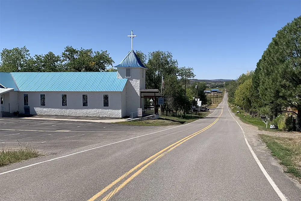
The second point of confusion is that there have been two different locations for the settlement of Arboles. The original, mostly Hispanic, settlement, which was located on the Piedra River a short distance above its junction with the San Juan River, was drowned when the Navajo Dam and Reservoir were built. In the process, Arboles was relocated to higher ground a short distance to the southwest. At the time Bolton published Pageant in the Wilderness in 1950, Arboles was at its original location. Navajo Dam was built in the late 1950s, and the last residents of old Arboles had relocated by 1962. So, while Arboles was in its original location in Bolton’s time, Arboles as mentioned in the Miller Report refers to the relocated settlement.
Excerpt from Bolton page 23: “Next morning Miera felt better, and the wayfarers continued west a league or more along the bank of the stream and on the slopes of the adjacent mesas, climbed a difficult hill, swung northwest, and having traveled one more league, arrived at Río de la Piedra Parada, still so-called, near its junction with Río Navajó [San Juan].”
After crossing the Piedra River they traveled four leagues (or about 10 ½ miles), first traveling two leagues (5 ¼ miles) west and then turning west-northwest and traveling another two leagues (5 ¼ Miles) bringing them to the Los Pinos River. It is thought that they traveled near present-day Allison and Tiffany, probably just to the north.
The location for the campsite on August 7th is believed to be just south of the town of Ignacio. The Journal entry description fits the large flat meadow found along the Los Pinos River just south of town. Most of this land is part of the Southern Ute Reservation. To find the campsite from the town of Ignacio, take Highway 151 east, cross the Los Pinos River just east of town, then turn right (south) on County Road 321 about a quarter mile east of the bridge. The campsite was likely in the vicinity of where Rock Creek joins the Los Pinos, or maybe a little farther south, so look for a good view point on C.R. 321 about 1.25 to 1.5 miles south of Highway 151. Since the land is largely Southern Ute Tribal Land, it is important that photos be taken only from the road.
