August 9
Camp Name
No Name
Daylight
13 hours / 51 minutes
Brightness of the Moon
21%
Distance Traveled
4.25 leagues / 11 miles
Weather
"Heavy downpour," rain & cold
Water Resources
Animas River, La Plata River, possibly Basin Creek
Journal Description for August 9th
On the 9th we set out from El Río de las Ánimas and ascended the incline west of the river, which, although it is not too lengthy, is quite difficult, consisting of plenty of rock and being very steep in places. We passed the small forest on its crest,55This small forest has long since been cut down, but at that time it probably contained large ponderosa pines. with which it must measure a little more than a quarter of a league. We entered a narrow valley of abundant pastures,56Ridges Basin traveled through it one league to the west, and turned west by northwest; then, after going three leagues through a leafy forest of good pasturage, we reached El Río de San Joaquín — de La Plata57Called simply La Plata today. by another name— which is small and similar to the one which passes through El Pueblo de San Geronimo of the Taos Indians.58The stream mentioned is the Taos Creek, which flows through the Pueblo of Taos, New Mexico, and divides the village in two.
It rises at the same western point of La Sierra de la Plata and descends through the same canyon in which there are said to be veins and outcroppings of metallic ore. However, although years ago certain individuals from New Mexico came to inspect them by order of the governor, who at the time was Don Tomás Vélez Cachupín, and carried back metal-bearing rocks, it was not ascertained for sure what kind of metal they consisted of. The opinion which some formed previously, from the accounts of various Indians and from some citizens of the kingdom, that they were silver ore, furnished the sierra with this name.
From the aforesaid incline by El Río de las Ánimas to this Río de San Juan [Editor’s Note: This should read Rio de San Joaquin, not Rio de San Juan. See the Spanish translation of Escalante’s journal in Chavez & Warner, page 139.], the terrain is very moist, since it rains very frequently because of its proximity to the sierra; as a result, both in the mountain forest— which consists of very tall and straight pines, scrub oak, and several kinds of wild fruits — and in its narrow valleys there are the prettiest of pastures. The climate here is excessively cold even in the months of July and August. Among the fruits mentioned there grows a small one of black hue, pleasant taste, and looking very much like the medlar59Similar to a crabapple. if not that sweet. We did not proceed ahead today because the mounts had not fed enough the night before and were rather weak by now, and also because a thick and prolonged heavy downpour made us halt.60The campsite was on the La Plata River at the site of Hesperus, from which they could see the hill they had to skirt to get to the Mancos drainage. Today four leagues and a quarter,61Eleven miles. almost all to the west.
Scroll to the bottom to view photos.
Notable Event
N/AD&E and Crew Activity
The horses were weak from lack of pasture at their campsite on the Animas River, so expedition members decided not to proceed beyond the La Plata River, both to let the livestock rest and feed, and because a heavy downpour forced them to halt.Miller Report Summary
August 9 was a relatively short day of travel. Some of the terrain was difficult, but most of the expedition’s route was relatively easy going as they followed Basin Creek through Ridges Basin and over Pine Ridge to the La Plata River valley. The direction was west-northwest to the La Plata River just south of the present site of Hesperus.DEEEP’s Field Notes
Copyright © 2024, DEEEP Colorado. All Rights Reserved.
August 9, 1776
By Robert McDaniel: DEEEP Team Member
Along with Dr. Robert W. Delaney, I was a team member for the Miller report team that did the field work for this section of the trail in the summer of 1975. After taking a fresh look at the available published source material and doing more research in the field, I now believe some of the conclusions we arrived at in 1975 were fundamentally wrong. Following are my current observations along with my reasoning for these changes:
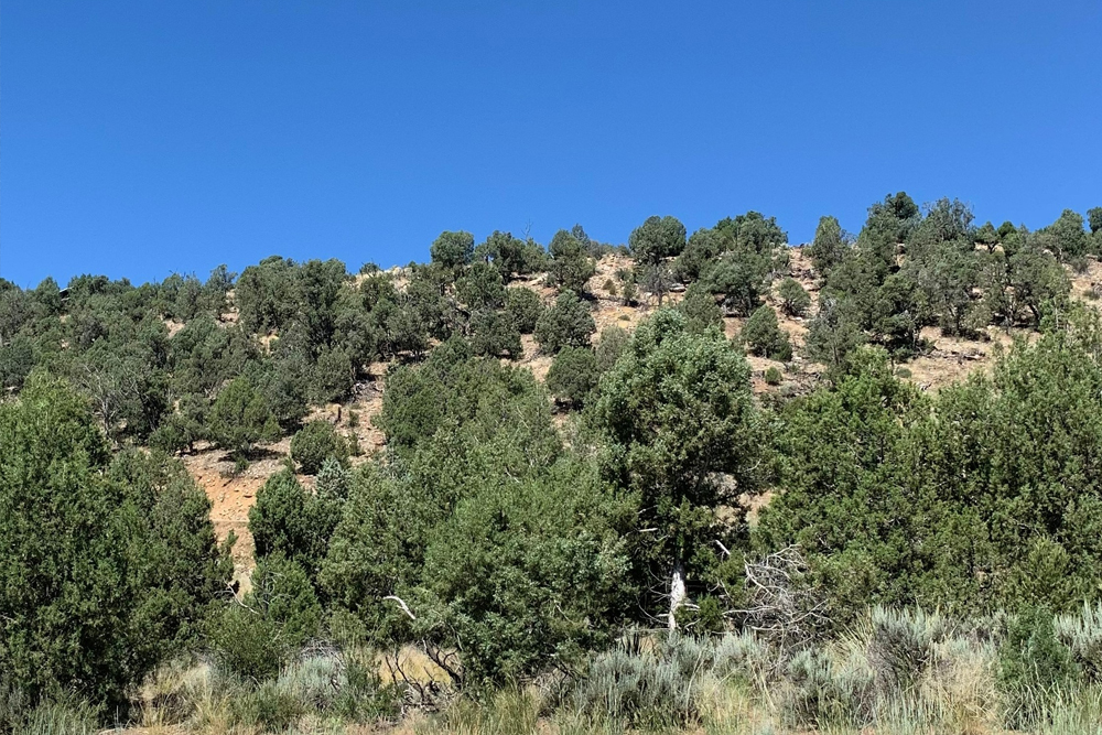
- Both Auerbach and Bolton state that upon leaving camp on the west side of the Rio de las Animas, the expedition “climbed the west bank of the river,” which proved difficult because it was rocky and steep. Chavez states that after leaving the Animas, the expedition “ascended the incline west of the river,” a more precise translation of Escalante’s diary. For several reasons, it seems clear to me that both Auerbach and Bolton mis-characterized the expedition’s path in this area. Chavez has it right. I now firmly believe that the expedition camped about a mile downstream from where Dr. Delaney and I believed they did in 1975 (following Bolton’s lead), and it’s clear to me now that the expedition traveled through what is now Animas Air Park on August 9th. It’s obvious, therefore, that when the expedition left its camp on the Animas, they proceeded about one-half mile across a gently sloping flat before reaching the “incline west of the river” that was difficult to ascend. This incline is the east slope of what used to be known as Blue Mesa (a name you won’t find on modern maps) where Animas Air Park and other developments have taken place since 1976, and it is indeed steep and rocky. As I explained in my analysis for August 8th, Blue Mesa was undeveloped private property in 1975 when we did our field work, and there was no road or any other public access to that property. Frankly, it was unknown and unseen by us at the time, and we simply followed Bolton’s suggestion as to where the expedition camped on August 8th. We then incorrectly assumed that the expedition proceeded along the west side of the Animas River upstream for some two miles before turning west to cross some hills to reach Ridges Basin. We had concluded that this route through present-day Bodo Industrial Park would have paralleled La Plata County Road 210 (C.R. 211 in 1975) to the south to reach Ridges Basin.
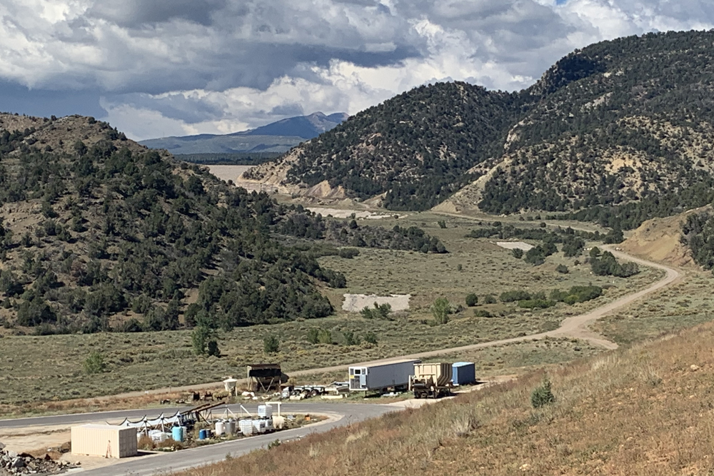
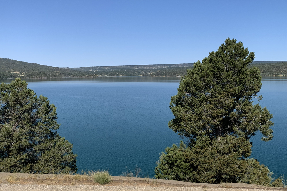
- It was a startling revelation when I finally found the road that accesses the valley of Basin Creek (Chavez’s “narrow valley of abundant pastures”). There before me was a direct and easy path across Blue Mesa and up Basin Creek into Ridges Basin. Today, there is a giant gravel pit complex next to Basin Creek (the afore-mentioned road was constructed in recent years probably to provide access for the construction of the Ridges Basin Reservoir (Lake Nighthorse) dam and, later, to the pit complex). Looming in the near distance is the dam on Basin Creek that impounds the waters of Lake Nighthorse (see photos).
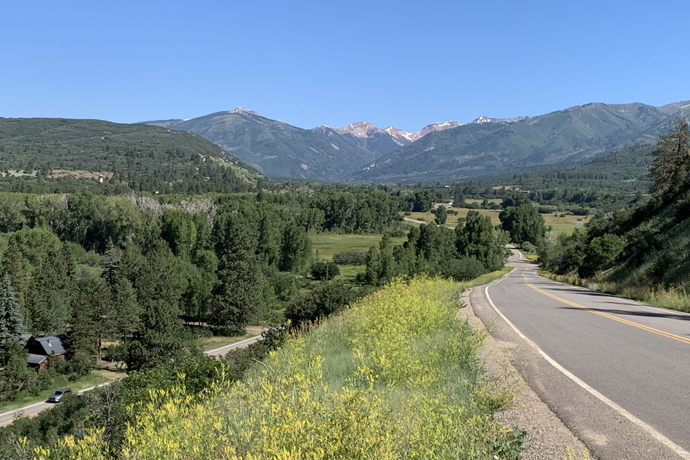
- Once in Ridges Basin, the expedition followed Basin Creek for some distance, then began the ascent to Pine Ridge (another place name you won’t find on modern maps). While the expedition could have crossed the north-south trending Pine Ridge almost any place, their general direction of travel would likely have paralleled present-day County Road 125, which crests Pine Ridge about 2.5 miles SSE of Hesperus. All or most of the written sources are in general agreement on the route from Ridges Basin to the Rio San Joaquin, or La Plata River.
- While Bolton and the Miller Report team thought the expedition camped near the site of Hesperus, Russon placed the campsite further south. I now agree with Russon for two reasons:
• Since the livestock had not fed well the night before and because the expedition was caught in a heavy downpour at the end of the day’s journey, the group almost certainly stopped to camp as soon as they reached the La Plata River. This would have been about two miles downstream from Hesperus.
• Chavez’s diary translation states that on the following day (August 10th) the expedition initially traveled north about a league before turning northwest, then west. Therefore, the expedition must have camped about two miles south of Hesperus because the point at which they would have turned northwest would be just north of Hesperus. The presence of high hills on both sides of the river valley would dictate this line of travel.

