August 29
Camp Name
St. Monica
Camp Name (Spanish)
Santa Mónica
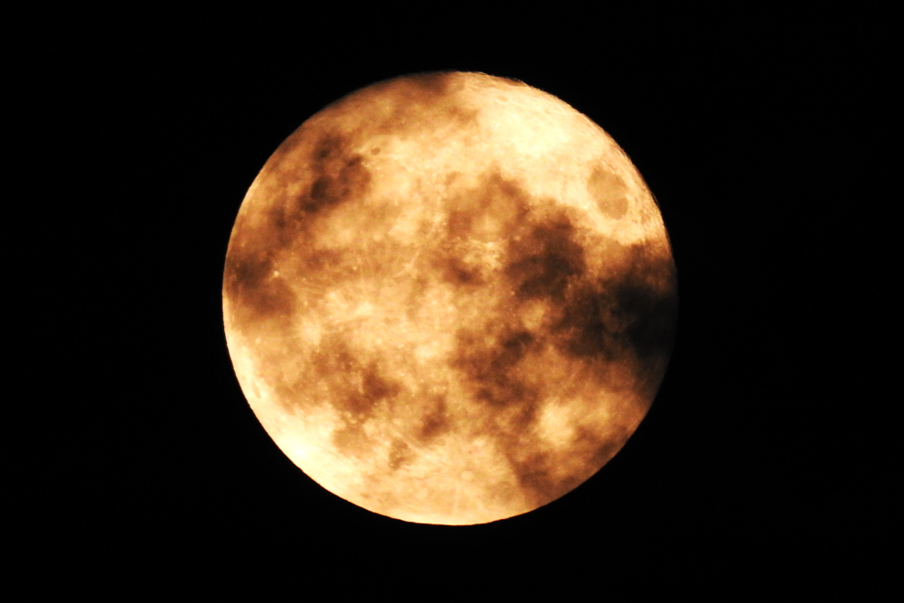
Brightness of the Moon
100%
Distance Traveled
0 leagues / 0 miles
Daylight
13 hours / 10 minutes
Water Resources
Gunnison River
Journal Description for August 29th
On the 29th, about ten in the morning, five Sabuagana Yutas, yelling loudly, let themselves be seen on top of some hills on the other side. We figured them to be those whom we had sent to be sought out, but as soon as they arrived where we were we realized that they were not from among those summoned. We gave them wherewith to eat and smoke, but after a long parley—its subject being the quarrels they had been having this summer with the Yamparica Comanches136These are Comanche or Eastern Shoshone, or even possibly a different band of Ute Indians.— we could not draw out of them anything useful for our plan, because theirs was to fill us with fear by exaggerating the danger to which we were exposing ourselves of being killed by the Comanches if we continued on our course. We refuted the validity of these pretenses, by which they were trying to stop us from going ahead, by telling them that our God, who is everyone’s, would defend us if we should happen to run into these foes.
Scroll to the bottom to view photos.
Miller Report Summary
Two nights were spent at this camp. Meanwhile Andres Muniz and the Indian Atanasio had been sent ahead to seek out the main Subuaganas (Ute) camp.Notable Event
A group of five Sabuagana Utes approached the Spaniard’s camp from the north and made their presence known by shouting and yelling. They then crossed the Gunnison River and spoke with the members of the expedition.D&E and Crew Activity
On the day before, Wednesday August 28, 1776, Domínguez and Escalante sent their Ute guide, Atanasio, and their interpreter, Andrés Muñiz, to locate the Sabuagana Ute camp and see if they could get one of the Utes to guide them on their journey further to the west. They planned to remain at the Santa Mónica campsite, until they returned. They apparently spent most of this day resting.DEEEP’s Field Notes
Copyright © 2024, DEEEP Colorado. All Rights Reserved.
August 29, 1776
By Sheila Maki, David Bradford, Joe Oglesby and Hank LeValley
(Members of the Hotchkiss-Crawford Historical Society and part of DEEEP)
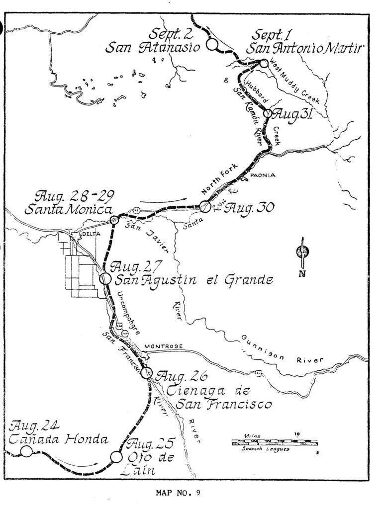
Taken from Russon’s Map #9
The map by F.V. Hayden – U.S. Geological and Geographical Survey of the Territories
Geological and Geographical Atlas of Colorado and portions of Adjacent Territory, 1881 edition shows an Indian trail that appears to follow the same route that the Domínguez-Escalante Expedition followed, from the San Agustín campsite north to the Santa Mónica campsite. The trail crosses the Gunnison River at a big north-trending bend then continues northward to the east of Surface Creek and crosses the Grand Mesa. We believe this is the same route followed by the Domínguez-Escalante Expedition, from the Uncompahgre River to the Gunnison River.
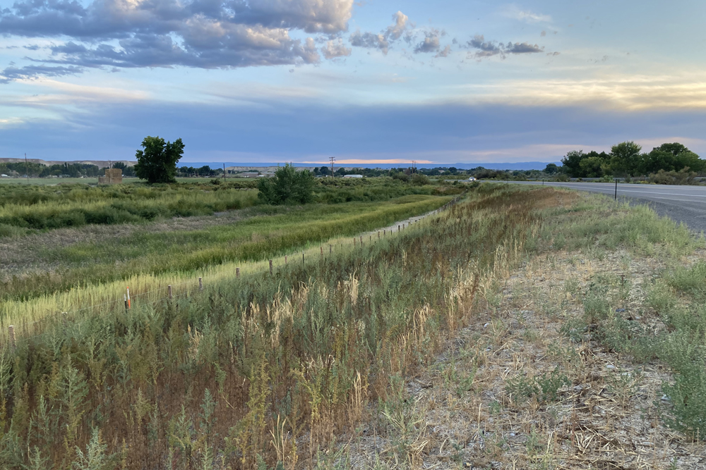
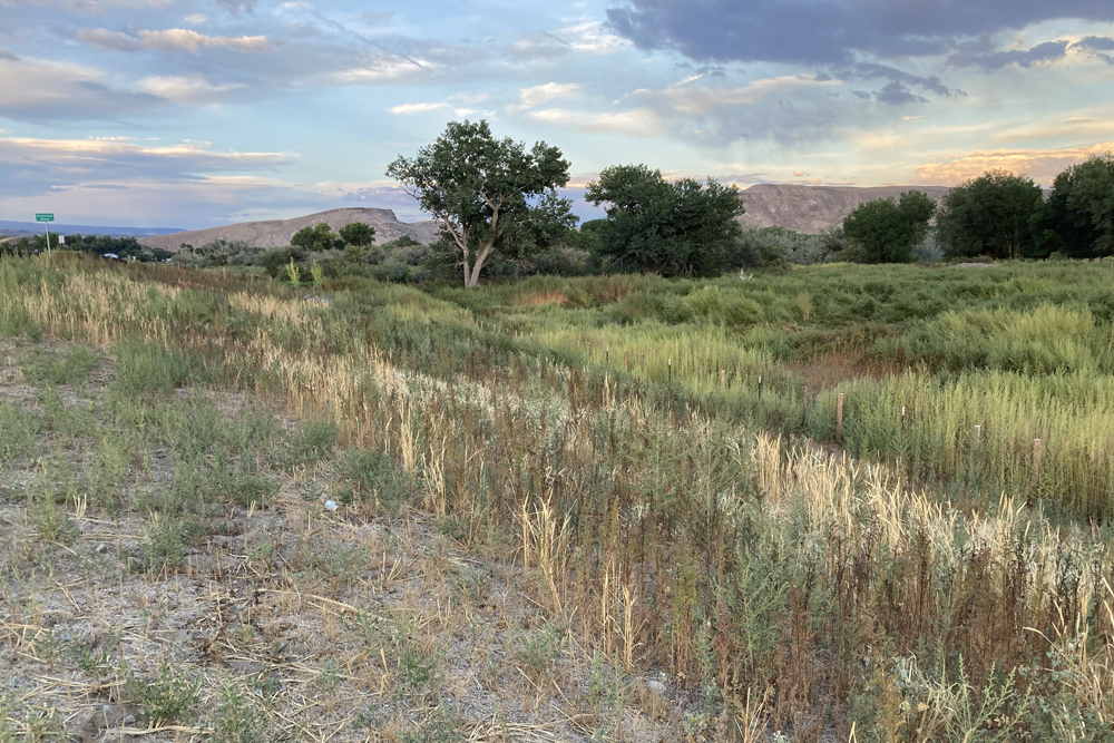
We also believe the Santa Mónica campsite was located near this big bend, which is approximately ½ mile west of the location identified by Miller, et al. The site is just west of the bridge on Colorado State Highway 92. Because of Escalante’s description and aligning with the trail as identified on the Hayden map, we believe this is the site as the banks of the river are steep and 8-10 feet tall. This site also lies at close to the river level and is sub-irrigated by the river which would allow vegetation to grow – “by a bend of it (the river) we found some pasture for the mounts”. The site also has a good crossing of the river. Note, river flows are much reduced from the past with the construction of the Blue Mesa, Morrow Point and Crystal dams on the main fork of the Gunnison and Paonia Reservoir Dam on the North Fork of the Gunnison. We identify the site as being located in T.15S., R.95W., NE¼SW¼ S.1, 6th P.M. or 38°46’42” N, 107°57’43” W. This site is currently owned by Grand Headwaters LLC out of Boulder, CO. The distance from San Agustín to the Santa Mónica campsite is 9½ miles, as measured with the measuring tool on the Delta County GIS website.
