August 28
Camp Name
St. Monica
Camp Name (Spanish)
Santa Mónica
Brightness of the Moon
99%
Distance Traveled
4 leagues / 10.5 miles
Daylight
13 hours / 11 minutes
Water Resources
Uncompahgre and Gunnison Rivers
Journal Description for August 28th
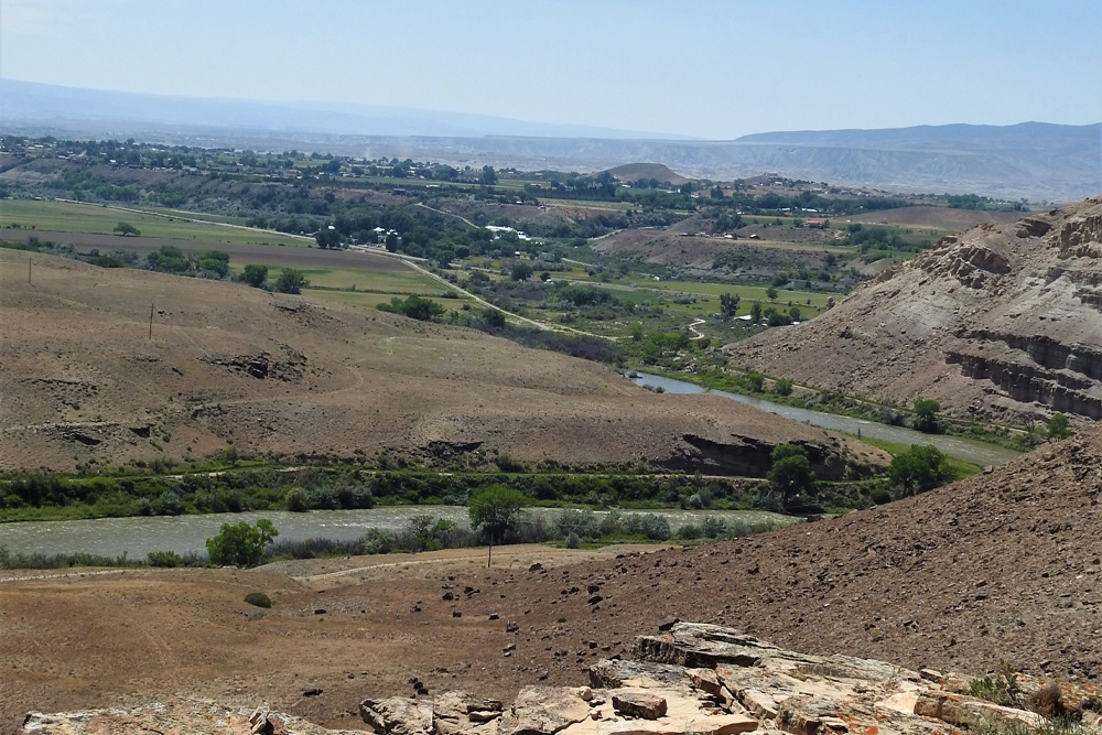
On the 28th we set out northward from La Vega de San Agustín, already leaving El Río de San Francisco, and after half a league of travel we continued three leagues and a half north-northeast over loose dirt and without stone and arrived at the already mentioned Río de San Francisco Xavier130The Gunnison River. The explorers have given it two names now: Río de San Xavier or Río de San Francisco Xavier. (among the people, San Xavier) — Tomichi by another name—which is made up of four little rivers coming down from the northernmost point (of La Sierra de la Grulla). It is as bounteous in water as El Norte, runs west, and at the western point of La Sierra del Venado Alazán131“The Mountain of the Sorrel-Colored Deer.” They had probably seen many deer in this area. it joins the San Francisco, as we already said. Its banks hereabouts are very sparse in pasturage.
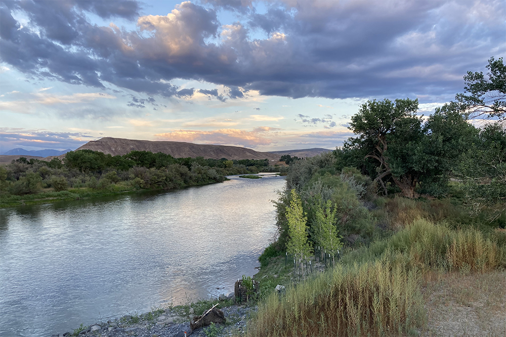
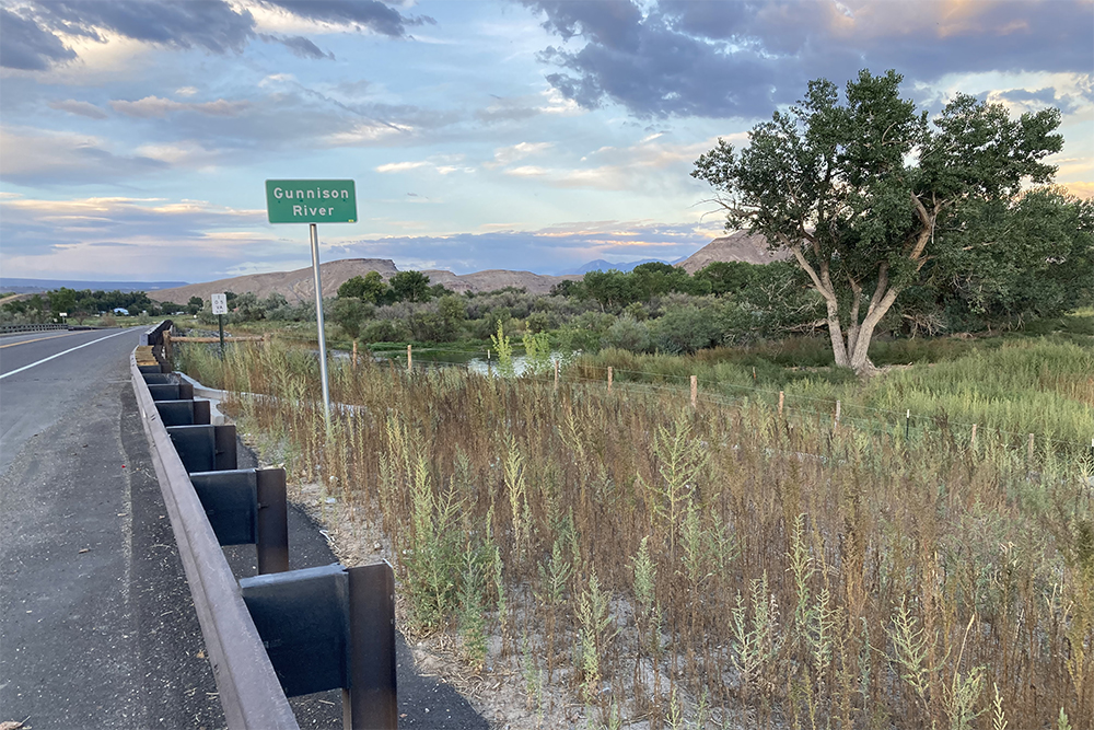
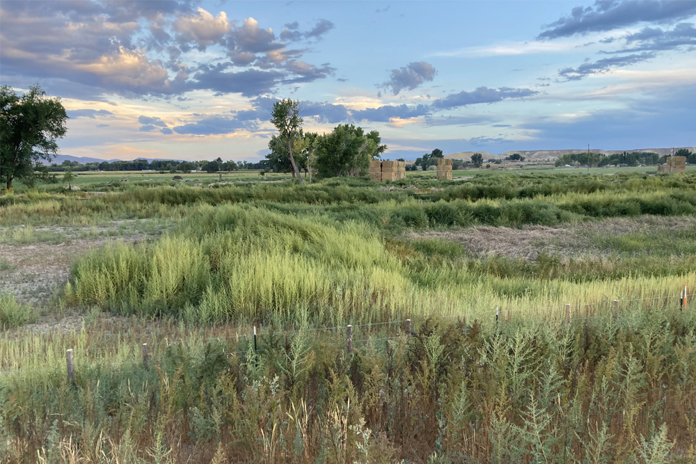
By a bend of it, where we found some pasture for the mounts and named it Santa Mónica,132Located in the Gunnison Valley about one-half mile east of Austin, Colorado. It is at the northwest corner of Smith’s Mountain on the south bank of the Gunnison River. we stopped today with the intention of resting awhile and continuing upstream until we came upon some encampments of Sabuaganas, which yesterday we heard were around here, and in them some Indians from among the Timpanogotzis, or Lagunas,133Various spellings in the journal. The Lagunas are now Uintah Utes. Timpanogotzis appears to be an Aztecan rendition of a Ute name. According to George Stewart it would seem to be derived from an Old Ute name for the mountain now called Timpanogos. Not having gender, the name seems to mean “the stone person” or “stone one” and refers to the image of a reclining human being formed by the ridges of the mountain Timpanogos. into whose country we were already planning to go. But after pondering the detour we would have to make in going farther upstream and in this direction—that our mounts would be badly overtaxed, and that we would necessarily have to use up much of the provisions in going to their habitations — we agreed on sending the interpreter with the guide Atanasio to summon them and see if anyone of them or of the Lagunas wanted to lead us, while we were to pay him for as far as he knew. They went over, and we remained waiting for them in Santa Mónica. Today four leagues.134Ten and a half miles. The latitude of this place was taken by the sun’s meridian, and it is 39° 13′ 29″ [22″).135Still too high. They were closer to 38°45′ at this point.
Scroll to the bottom to view photos.
Miller Report Summary
The company left the August 27 campsite traveling in a slightly east of north direction, crossed an almost level tableland to reach the south bank of Gunnison River and camp August 28 about a half mile east of present Austin. Two nights were spent at this camp. Meanwhile Andres Muniz and the Indian Atanasio had been sent ahead to seek out the main Subuaganas (Ute) camp.Notable Event
The expedition reached the Río de San Francisco Xavier, also called the Tomichi or using the modern name – the Gunnison River. Domínguez and Escalante also sent the Ute guide, Atanasio, and their interpreter, Andrés Muñiz, to locate the Sabuagana Ute encampment to find a guide to lead them to the west into the Laguna Ute homelands.
D&E and Crew Activity
Domínguez and Escalante were concerned that a detour to the east would further tire their horses and use more of their limited provisions, so they sent their Ute guide, Atanasio, and their interpreter, Andrés Muñiz, to locate the Sabuagana Ute camp and see if they could get one of the Utes to guide them on their journey further to the west. They planned to remain at the Santa Monica campsite, until they returned.
The Ute guide, Atanasio, and their interpreter, Andrés Muñiz, were sent east up the El Río de San Francisco Xavier (the Gunnison River) to locate the Sabuagana Ute camp and see if they could get one of the Utes to guide them on their journey further to the west.
DEEEP’s Field Notes
Copyright © 2024, DEEEP Colorado. All Rights Reserved.
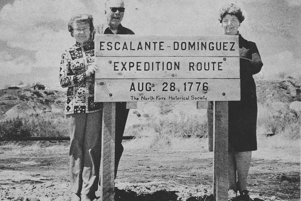
August 28, 1776
By Sheila Maki, David Bradford, Joe Oglesby and Hank LeValley
(Members of the Hotchkiss-Crawford Historical Society and part of DEEEP)
The map by F.V. Hayden – U.S. Geological and Geographical Survey of the Territories Geological and Geographical Atlas of Colorado and portions of Adjacent Territory, 1881 edition shows an Indian trail that appears to follow the same route that the Domínguez-Escalante Expedition followed, from the San Agustín campsite north to the Santa Mónica campsite. The trail crosses the Gunnison River at a big north-trending bend then continues northward to the east of Surface Creek and crosses the Grand Mesa. We believe this is the same route followed by the expedition, from the Uncompahgre River to the Gunnison River.
We also believe the Santa Mónica campsite was located near this big bend, which is approximately ½ mile west of the location identified by Miller, et al. The site is just west of the bridge on Colorado State Highway 92. Because of Escalante’s description and aligning with the trail as identified on the Hayden map, we believe this is the site as the banks of the river are steep and 8-10 feet tall. This site also lies close to the river level and is sub-irrigated by the river which would allow vegetation to grow – “by a bend of it (the river) we found some pasture for the mounts”. The site also has a good crossing of the river. Note, river flows are much reduced from the past with the construction of the Blue Mesa, Morrow Point and Crystal dams on the main fork of the Gunnison and Paonia Reservoir Dam on the North Fork of the Gunnison. We identify the site as being located in T.15S., R.95W., NE¼SW¼ S.1, 6th P.M. or 38°46’42” N, 107°57’43” W. This site is currently owned by Grand Headwaters LLC out of Boulder, CO. The distance from San Agustín to the Santa Mónica campsite is 9½ miles, as measured with the measuring tool on the Delta County GIS website.
When the Grass Stood Stirrup-high: Facts, Photographs and Myths of West-Central Colorado. By David Bradford, Floyd Reed and Robbie Baird LeValley. (Allen Press Inc., Lawrence, KS, 2004) p. 8-9.
This book is a review of the historic writings by early explorers, from 1765 to 1898, about western-Colorado and the environmental conditions they encountered. It includes 75 early photographs, 1885 – 1949, and their modern re-takes, 1997-2003. The authors provide an analysis of what environmental conditions the early explorers encountered. The following is an excerpt from the book on the Domínquez-Escalante Expedition.
“The Escalante journal provides the first written descriptions of the landscapes of the Uncompahgre and North Fork valleys. These descriptions portray considerable variety in the vegetation on the landscapes. The land in the basin is mostly lacking grass and the only sites where pasture for the livestock can be found is along the rivers. This general pattern continued as the expedition moved up the North Fork Valley, although the group did begin crossing through areas of prickly-pear cactus and sagebrush. They began to find junipers and oakbrush as they moved into the upper North Fork. As they moved onto the Grand Mesa they finally found abundant pastures, with aspens and spruce forests common.”
