August 27
Camp Name
St. Augustine
Camp Name (Spanish)
San Agustín
Brightness of the Moon
95%
Distance Traveled
6 leagues / 15.75 miles
Daylight
13 hours / 6 minutes
Water Resources
Uncompahgre River
Journal Description for August 27th
On the 27th we set out from La Ciénega de San Francisco, downstream and heading northwest. At a short distance we met a Yuta, called the Left-handed, with his family. We tarried a good while with him, and after a lengthy conversation drew forth nothing more useful than that we had suffered from the sun’s heat, which was indeed very fiery all the while the talk lasted. We continued our day’s march through the meadow and, after trekking two leagues and a half to the northeast, crossed the river and dense leafy grove of poplars and other trees which its banks bear hereabouts. We went up a small incline, entered a plain of no pasturage but of very minute stone and, after going all the way downstream for three and a half leagues northwest, halted on another meadow of the same river, which we named San Agustín.125The Uncompahgre River. They traveled along the west bank of the Uncompahgre to the northwest past the present site of Montrose, Colorado. They crossed the river some six miles northwest of La Cienega campsite and marched up the east bank from that point. The probable San Agustin campsite is at the point where the Uncompahgre River splits into several branches, making a broad meadow. It is approximately two miles north of Olathe, Colorado. It is large and has on either side of it abundant pastures and a great deal of black poplar. Today six leagues.126Fifteen and three-quarters miles.
Farther down, and about four leagues to the north of this Vega de San Agustín, this river joins another, larger one, named San Xavier127The Uncompahgre River joins a larger one named Río de San Xavier by the Spaniards and Tomichi by the Utes. Today it is known as the Gunnison River. by our own, and river of the Tomichi by the Yutas. To these two rivers, already joined together, there came Don Juan María de Ribera in the year of ’65, crossing the same Sierra de los Tabehuachis, on the top of which is the site he named El Purgatorio,128The El Purgatorio of Juan María de Ribera is at the confluence of the Uncompahgre and the Gunnison rivers, now just below Delta, Colorado. according to the indications he gives in his itinerary.
The meadow where he halted in order to ford the river — and where they say he carved on a poplar sapling a cross, the letters spelling his name and the expedition’s year— is situated almost near the same juncture on the southern side, as we were assured by our interpreter, Andrés Muñiz, who came with the said Don Juan María in the year mentioned as far as La Sierra de los Tabehuachis. He said that, although he had stayed three days’ marches behind on this side of the river at that time when he came along its edge this past year of ’75 with Pedro Mora and Gregorio Sandoval—who had accompanied Don Juan María throughout the entire expedition mentioned — they said that they had reached it then and from it had started their return, they alone having crossed it when they were sent by the said Don Juan María to look for Yutas on the side opposite the meadow where they stopped and from where they came back— and so, that this was the one which they then judged to be the great Río del Tizón.129The Colorado River. Called the Tizón because the Indians on the lower river carried tizones, or firebrands, with them in winter to keep warm. They were not, of course, at that time on the Colorado River, or the Tizón, as they speculated.
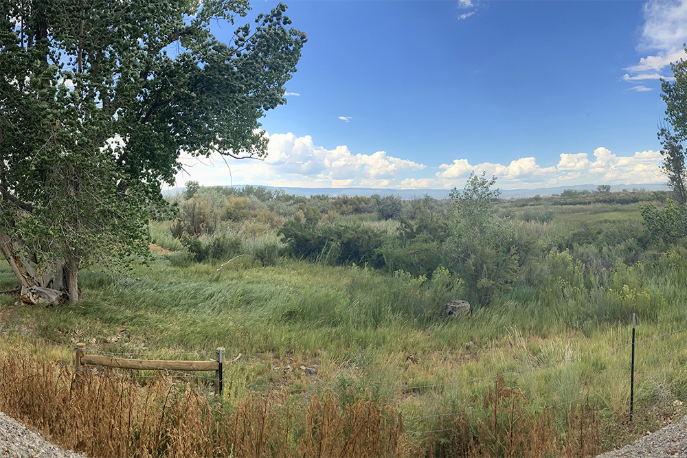
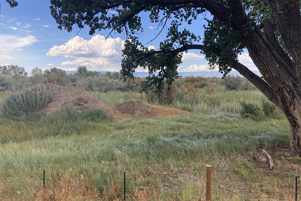
Scroll to the bottom to view photos.
Notable Event
They met a Yuta called “Left-handed” and his family. They “tarried” awhile “but the conversation drew nothing more useful”.D&E and Crew Activity
The Journal states that “we” met with a Yuta and his family but learned nothing from the visit. Andrés Muñiz, their interpreter, describes being near this area when he traveled with Rivera.Miller Report Summary
Doubtless, the main Indian trail followed the Uncompahgre River downstream. Rivera’s 1765 expedition had gone that way as far as the Uncompahgre-Gunnison River confluence. But the Dominguez-Escalante expedition was now being guided by a Sabuaganas Indian (named Atanasio by the padres) who had promised to lead the Spaniards to a main camp of his people, location of which turned out to be high on the Grand Mesa.DEEEP’s Field Notes
Copyright © 2024, DEEEP Colorado. All Rights Reserved.
August 27, 1776
By David Bradford: DEEEP Team Member
Excerpt from: When the Grass Stood Stirrup-high: Historical Fact or Urban Myth? By David Bradford, Floyd Reed, and Robbie Baird LeValley
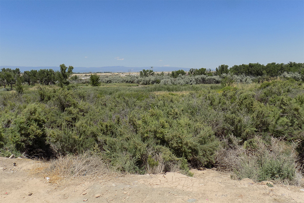
On August 27, 1776 the group traveled north, camping at a site near the modern town of Olathe. They called the campsite “La Vega de San Agustine”. Escalante described the expeditions’ journey that day:
“We continued our day’s march through the meadow and, after trekking two leagues and a half to the northeast, crossed the river and dense leafy grove of poplars and other trees which its banks bear hereabouts. We went up a small incline, entered a plain of no pasturage but of very minute stone and, after going all the way downstream for three and a half leagues (approximately eight miles) northwest, halted on another meadow of the same river, which we named San Agustin (this site is approximately 2 miles north of Olathe). It is larger and has on either side of it abundant pastures and a great deal of black poplar.”
August 27, 1776 – San Agustin Campsite, 2½ miles north of Olathe, Colorado. (Supplemental analysis to map the route traveled from La Cienega to San Agustin)
“We continued our day’s march through the meadow (La Cienega de San Francisco, just south of Montrose, CO) and, after trekking two leagues and a half to the northeast, crossed the river and dense leafy grove of poplars and other trees which its banks bear hereabouts. We went up a small incline, entered a plain of no pasturage but of very minute stone and, after going all the way downstream for three and a half leagues northwest, halted on another meadow of the same river (The Uncompahgre River), which we named San Agustin. It is large and has on either side of it abundant pastures and a great deal of black poplar (Fremont cottonwood trees).”
Traveled Northeast 2½ leagues.
Crossed from the West side of the Uncompahgre River to the East side.
Encountered a dense grove of poplars and other trees along the banks.
Went up a small incline.
Entered a plain of no pasturage but very small stones.
Traveled 3½ leagues in a Northwest direction.
Halted at a large meadow along the Uncompahgre River with lots of black poplars (Fremont Cottonwoods).
Traveled 6 leagues or 15.7 miles.
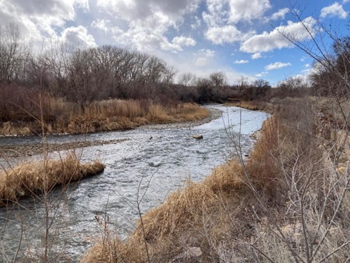
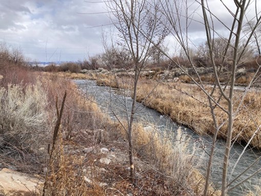
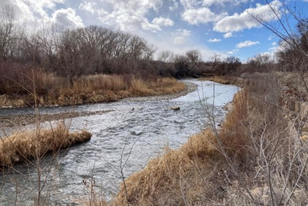
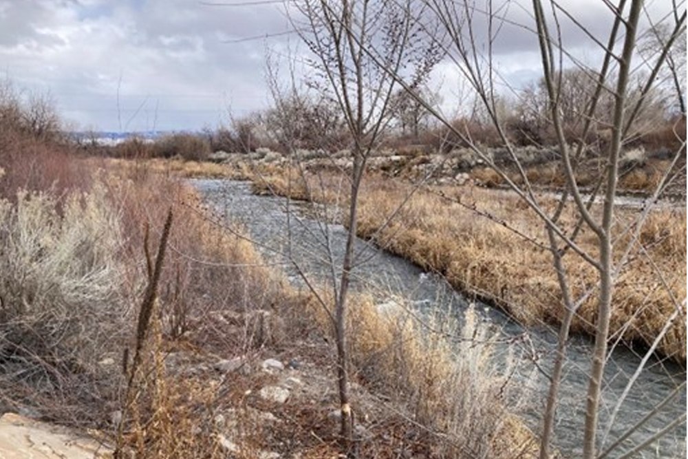
I was asked to map the route from the La Cienega de San Francisco campsite, south of Montrose, to the San Agustin campsite, north of Olathe. The route is fairly straightforward, basically paralleling the Uncompahgre River. The first part of the day’s travel was on the west side of the river, then after crossing the river, traveling along the east side of the river. The primary unknown issue is where did the expedition cross the river. Escalante stated they traveled “two leagues and a half to the northeast” Obviously this is an error in the translation, as the river is flowing to the northwest. Miller, et al noted this error and stated that Bolton, in his translation states they marched to the northwest. I agree with Bolton and Miller on this. Warner and Miller state that the expedition crossed the river 6 miles downstream from the La Cienega de San Francisco campsite. I first used the Montrose County GIS system to plot the La Cienega de San Francisco campsite, then using the measurement tool, I plotted the route. This process indicated that six miles downstream was just below where Cedar Creek joins the Uncompahgre River. This is also where the river turns sharply to the west and just before the river turns back to the northwest. I then traveled down to Montrose on Monday, February 26 to ground check this analysis. I drove to the Ute Indian Museum, where the La Cienega de San Francisco is supposed to be closely located. I drove northwest from there on US 550, until it terminates at the intersection with US 50 (East Main Street), continuing northwest to approximately 3001 North Townsend Ave. (US 50). I turned into the Montrose Waste Water Treatment facility, which brought me to the east side of the river right where the river makes the sharp turn to the west. This appeared to be an area that could be easily crossed by horses. The location is T.49N, R.9 W, NW¼SE¼ S.18, NM P.M. or 38°30’38” N, 107°55’9” W. See the following photos – top view is looking west, Bottom view is looking east.
