August 26
Camp Name
The Marsh of St. Francis
Camp Name (Spanish)
La Ciénega de San Francisco
Brightness of the Moon
92%
Distance Traveled
5 leagues / 13 miles
Daylight
13 hours / 18 minutes
Water Resources
The Uncompahgre River
Journal Description for August 26th
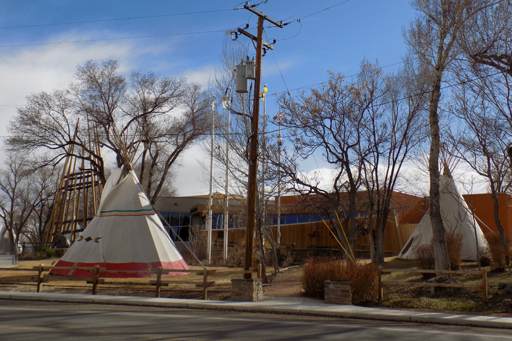
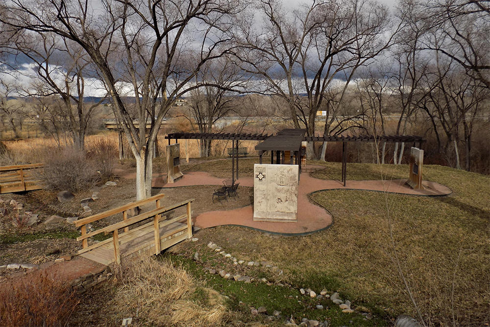
On the 26th we set out from El Ojo de Laín toward the northeast and traveled one league. Here the path we were following splits in two, one toward the east-northeast and the other toward the northeast. This one we followed, and after going two leagues and a half north¬east we finished descending the sierra and came upon the banks and meadows of El Río de San Francisco120The Uncompahgre River.—among the Yutas called Ancapagari121The Uncompahgre River. (which, according to our interpreter, means Red Lake), because they say that near its source there is a spring of red-colored water, hot and ill-tasting. On this river meadow, which is large and very level, there is a very wide and well-beaten trail. We went along it downstream for a league and a half northeast and halted next to a big marsh greatly abounding in pasturage, which we named La Ciénega de San Francisco.122“The Marsh of St. Francis.” This is on the Uncompahgre River where Colorado State Highway 550 crosses the river. It is near the present Ute Tribal Museum. Today five leagues.123About 13 miles.
Scroll to the bottom to view photos.
Notable Event
They descended the sierra and camped alongside the Uncompahgre River.Miller Report Summary
From the Ojo de Lain, the group went generally northeast toward the Uncompahgre River. They had to cross numerous small creeks but the travel was generally easy with plenty of water. They descended to the valley floor along one of the creeks which flow toward the Uncompahgre and then proceeded to touch the Uncompahgre at the closest point in a general northeasterly direction. From there they proceeded downriver about one and a half leagues which would put the campsite at about where Highway 550 crosses the Uncompahgre.DEEEP’s Field Notes
Copyright © 2024, DEEEP Colorado. All Rights Reserved.
August 26, 1776
Coordinator’s Notes:
The Uncompahgre Plateau Research team was made up of Glade Hadden, Linda Adkins, Bob McKeever and Tony Adkins. They provided the research for August 23 – 26, 1776. The team came up with two different theories. The first is provided by Glade Hadden and the second by Linda Adkins.
By Glade Hadden: PhD: Archaeologist, BLM (retired)
Setting out northwesterly from El Ojo de Laín (Iron Springs), the party traveled one league to a place where the trail split with one branch leading east – northeast and the other more directly northeast. Taking the northeast branch, the party traveled another two and a half leagues descending the mountain, the group came upon the meadows marking one of the headwaters of El Río de San Francisco “among the Yutas called Ancapagari” (Uncompahgre). This river meadow was large and flat with an excellent trail. Traveling downstream another league and a half, the party camped for the night “near a big marsh greatly abounding in pasturage” This was named La Ciénega de San Francisco. This could be one of many such spots in the vicinity of the present-day Stuart Springs. This entire area comprises the headwaters of both Horsefly Creek (trending westward into the San Miguel River) and Spring Creek, which descends eastward into the Uncompahgre River.
Driving: From the Iron Springs Campground, drive eastward 4/10 mile to the junction of Highway 90 and the Divide Road leading southeasterly. Drive 13.8 miles to the vicinity of La Ciénega de San Francisco near the junction of Dave Wood Road.
By Linda Adkins: DEEEP Team Member
The next morning the expedition was led directly northeast for 9 miles along the Government Springs Road to the Uncompahgre River. Following the river 4 miles northwest brought them to a large marsh, named Ciénega de San Francisco (The Marsh of St. Francis).
