August 25
Camp Name
Lain's spring, after Don Joaquin Laín of Santa Fe – a member of the expedition
Camp Name (Spanish)
El Ojo de Laín
Brightness of the Moon
81%
Distance Traveled
7.5 leagues / 19.75 miles
Daylight
13 hours / 21 minutes
Water Resources
A “copious spring of good water”
Journal Description for August 25th
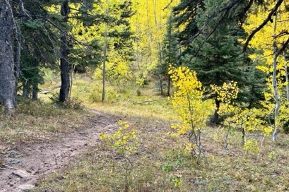
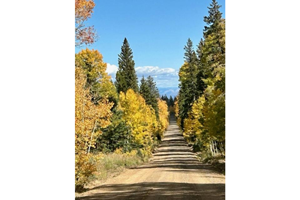
On the 25th we set out from La Cañada Honda toward the east and traveled half a league through dense clumps of scruboak; we swung to the southeast over less encumbered terrain and went along the same path for three leagues and a half; then, having gone another half toward the east, we now began crossing the sierra in a northeasterly direction, and at the end of a league and a half of good terrain, now unencumbered and without any laborious slope, we reached its top. It is an eminence of very good pastures and of pleasant scenery due to the thickets and beautiful poplar groves, briefly spaced from one another, which it bears. There are three paths here, and we followed the one going northeast. Having gone a league and a half in this direction, we halted while still on the northern flank of the sierra and by a copious spring of good water that we named El Ojo de Laín,118“Laín Springs.” Named after Don Joaquín Laín of Santa Fe, a member of the expedition. Skirting the highlands along Horsefly Creek, they turned northeast at Johnson Spring. There are numerous springs in the vicinity and it is impossible to determine which one was the Ojo de Laín. which comes out about six ordinary paces east from the path. Before any repast could be prepared, which we needed badly enough all along, a full heavy downpour fell. Today seven leagues and a half.119Nineteen and three-quarters miles.
Scroll to the bottom to view photos.
Notable Event
N/AMiller Report Summary
From La Canada Honda the expedition was guided almost east-southeast and parallel to Horsefly Creek. They then skirted the high lands going along Horsefly Creek and turned northeast at about Johnson Spring, camping at a spring which they called Ojo de Lain. There are numerous springs in the vicinity, and it would be impossible to determine which one was the Ojo de Lain. They crossed the crest of the Uncompahgre Plateau northwest of Horsefly Peak at about the 9,000-foot elevation. Because of the travel on August 25 and 26, the Ojo de Lain must be at least one league northeast of Kern Spring.DEEEP’s Field Notes
Copyright © 2024, DEEEP Colorado. All Rights Reserved.
August 25, 1776
Coordinator’s Notes:
The Uncompahgre Plateau Research team was made up of Glade Hadden, Linda Adkins, Bob McKeever and Tony Adkins. They provided the research for August 23 – 26, 1776. The team came up with two different theories. The first is provided by Glade Hadden and the second by Linda Adkins.
By Glade Hadden: PhD: Archaeologist, BLM (retired)
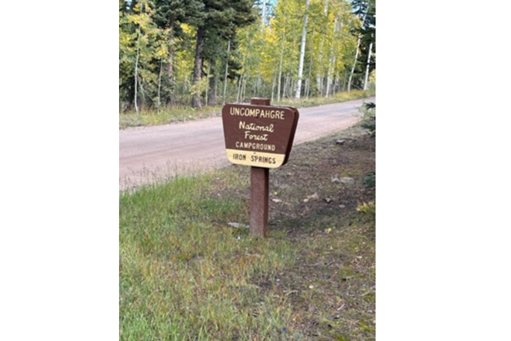
Leaving La Cañada Honda, the party traveled in an easterly direction along an easily traveled slope, reaching the top without any difficulties. From the top of the ridge (near the present-day radio repeater tower and powerline road) they traveled eastward along the ridgetop (the current “Divide Road” on the Uncompahgre Plateau) through some pleasant mountain scenery, expansive views and groves of aspen trees. Reaching an area where several springs appear along the crest of the ridge, the party stopped for the night at a place Escalante named El Ojo de Laín – likely one of the many springs that are today called Iron Springs, found near the US Forest Service campground of the same name.
Driving: Continue on Highway 90 an additional 15.2 miles to the rim road at the summit. Somewhere toward the top is where the Escalante party crossed the present-day road. At the Rim Road junction, turn right and continue another 2/10 mile to Iron Springs campground.
By Linda Adkins: DEEEP Team Member
August 25 – Setting out from Red Canyon, the party was by this date following the heavily used “Navajo Trail”, now designated as Forest Service 512 or “Hank’s Valley Road” and a portion of the Sanborn Park Road. They traveled more than 10 miles south and east “following the same path”, then turned northeast for 4 miles, reaching the top of the plateau. Another 4 miles through pleasant aspen groves brought them to a spring “six paces east from the path”. It was named El Ojo de Laín (named after a member of the expedition), most likely Government Springs.
