August 21
Camp Name
Saint Louis
Camp Name (Spanish)
El Paraje de San Luis
Brightness of the Moon
41%
Distance Traveled
6 leagues / 15.75 miles
Daylight
13 hours / 29 minutes
Water Resources
San Miguel River
Journal Description for August 21st
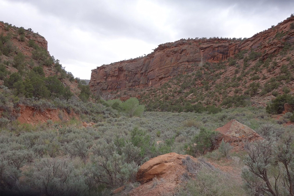
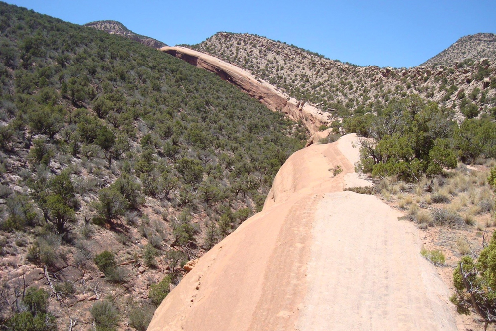
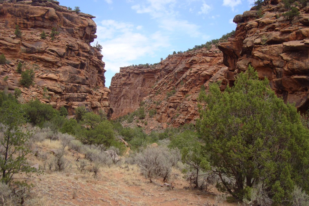
On the 21st we set out from El Aguaje de San Bernabé and, through the canyon where it is situated at its southern end, we traveled north four leagues of very good terrain and some difficult stretches. Midway in the canyon there are good waterholes, and almost at the end for the space of a quarter league as much water flows as that coming from a middling spring. After passing through this canyon, we went one league northwest, a little less, over a level stretch of sagebrush. We entered another canyon,99The southeastern end of Paradox Valley. as bad for traveling as the foregoing was, and, after going through it one league to the north, we reached El Río de San Pedro100“Saint Peter’s River.” Today called the San Miguel River (Saint Michael). and halted in a small meadow it has here, naming it El Paraje de San Luis.101This campsite was located northwest of Naturita, Colorado, in a meadow on the west side of the San Miguel River at about the junction of present-day Colorado State Highways 141 and 90. Today six leagues.102There is considerable discrepancy between the six leagues (15¾miles) reported in the journal and the distance between the campsites of San Bernabe and San Luis. The distance would appear to be no more than 3½-4 leagues instead of 6. Perhaps the windings of Dry Creek, which they followed to the San Miguel (Río de San Pedro), threw off their calculations.
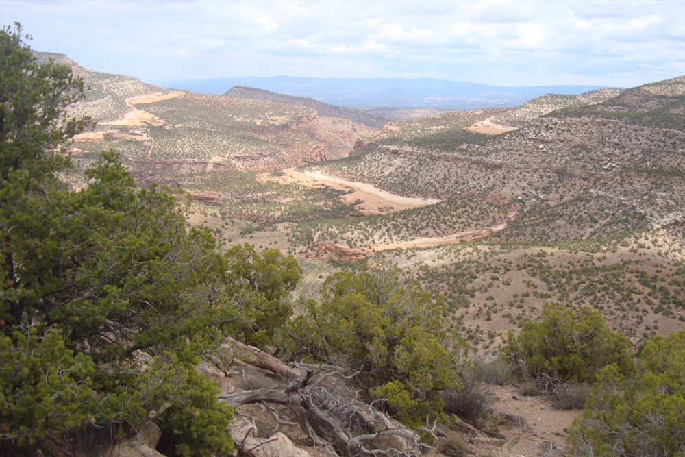
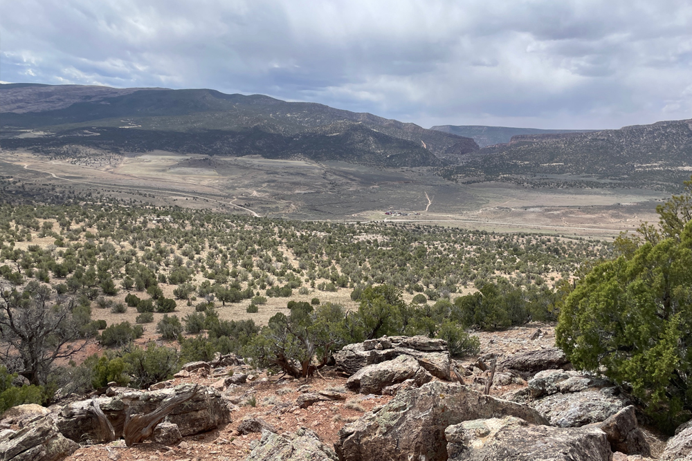
Scroll to the bottom to view photos.
Notable Event
Reaching the San Miguel RiverMiller Report Summary
Continuing down Dry Creek Canyon the following day, the company crossed the south tip of Paradox Valley to reach the San Miguel River a couple of miles downstream (northwest) from Naturita.DEEEP’s Field Notes
Copyright © 2024, DEEEP Colorado. All Rights Reserved.
August 21, 1776
By Glade Hadden, PhD: Archaeologist, BLM (retired)
After leaving the spring where they had camped the night before (El Aguaje de San Bernabé), the party traveled northerly through the upper reaches of the Dry Creek Canyon, finding the travel of some “very good terrain” with a few “difficult stretches”, likely due to the rough nature of the arroyo they were traveling. The party continued downstream, following Dry Creek through both Red Canyon and Dry Creek Canyon where they found plentiful water. Following the stream down canyon led the party to the easternmost end of the Paradox Valley where they entered another canyon near the present-day Coke Oven Ranch on Highway 90.
Starting point – Coke Oven Ranch. From the ranch gate on Highway 90 drive 2.1 miles north on 90 to the junction of highway 141 – this is where Dry Creek enters the San Miguel River.
By afternoon, the party had reached its next stop, a small meadow (El Paraje de San Luis) on the west side of El Río de San Pedro (today the San Miguel River) near its confluence with Dry Creek north of Highway 141.
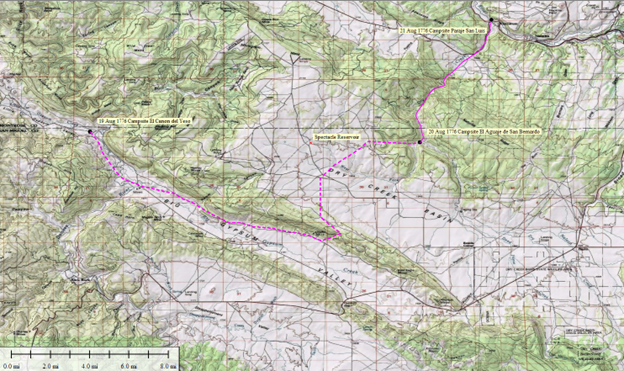
The map above was created by Linda and Tony Adkins. It shows the Expedition’s route and the campsites for August 19th – 21st.
