September 8
Camp Name
Saint Delfina
Camp Name (Spanish)
Santa Delfina
Brightness of the Moon
63%
Distance Traveled
5 leagues / 13 miles
Daylight
12 hours / 49 minutes
Water Resources
Water during the day but none at the campsite
Journal Description for September 8th
On the 8th we set out from La Natividad de Nuestra Señora toward the north and went half a league, crossing an arroyo of good perennial water. Then, climbing up a steep incline, but without shelves and rock, we took a path—and better terrain than yesterday’s— and, after going two and a half leagues northwest among spreading hills and some poplar groves, we reached a high ridge where the guide Silvestre pointed out to us the sierra on whose northern side dwell the Yamparica Comanches, who come to this one north of the Sabuaganas and to the point of the same sierra where his own people are— on the western side with respect to the spot from where he showed it to us.
We descended to the ridge down an extremely steep slope, rough in places but without rock, and with many clumps of scruboak and chokecherry which help prevent the mounts from slipping and rolling down. We entered an ample canyon of good terrain; then, after going a league north-northwest, counting the descent from the ridge, we turned north along it for a league and a half and halted so that the animals could drink—for a goodly amount of water which flows down from here, along the canyon route we took, either runs underground or dries up. In the afternoon we kept on going downstream through the canyon; after a league of travel west-northwest we stopped without water handy—because here the arroyo no longer has any—by a bend with good pasturage, which we named Santa Delfina.176Camp was located very near the junction of East Douglas and Cathedral creeks. The camp was about 2.5 miles beyond the junction of these creeks. Today five leagues.177Thirteen miles today.
Scroll to the bottom to view photos.
Notable Event
Their guide Silvestre pointed out the “sierra” where the Yamparica Comanches lived.Miller Report Summary
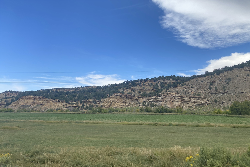
September 8 found the expedition moving down the East Fork of Douglas Creek to camp below the point where Cathedral Creek joins that stream.DEEEP’s Field Notes
Copyright © 2024, DEEEP Colorado. All Rights Reserved.
September 8, 1776
By The Canyon Pintado Team: Daniel Fiscus, Vice President, Rangely Outdoor Museum; and an anonymous professional government advisor
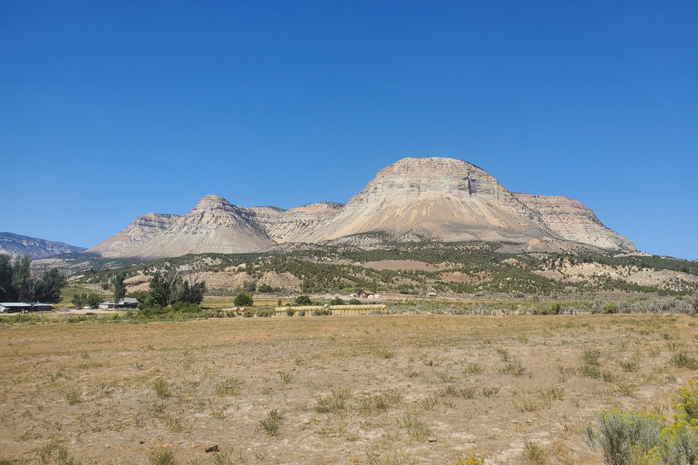
After leaving “La Natividad de Nuestra Señora,” the expedition traveled north/northwest until they reached the high ridge (the Cathedral Bluffs) where they first saw the Uinta Mountains to the northwest. They descended today’s Soldier Creek into the Cathedral Creek drainage. This route is now part of the Bobcat Ranch property. They followed Cathedral Creek into the main East Douglas Creek drainage and set up camp a few miles downstream of the confluence of the two creeks.
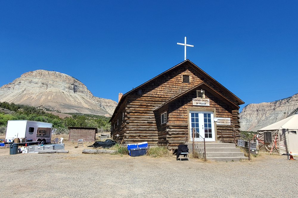
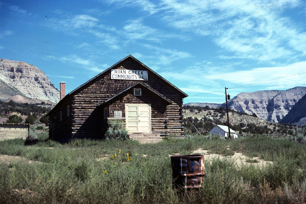
Roan Creek Community Center photo is protected by Creative Commons.
The original photo can be found here.

