August 5
Camp Name
Our Lady of the Snows
Camp Name (Spanish)
Nuestra Señora de las Nieves
Brightness of the Moon
63%
Distance Traveled (Leagues)
8 leagues
Distance Traveled (Miles)
21 miles
Water Resources
San Juan River
Journal Description for August 5th
On the 5th [DEEEP Note: They are in New Mexico] we left El Cañón del Engaño toward the southwest, and at half a league we reached El Río de Navajó38The Navajo River today.,which rises in La Sierra de la Grulla39“The Crane Mountains.” Perhaps they saw birds they identified as cranes here. Today these are the Rocky Mountains. At this point Wolf Creek Pass connects the San Luis Valley with the San Juan Basin.; it runs from northeast to southwest up to here, whence it turns north a little more than three leagues until it joins another river which they call San Juan40Still called the San Juan River. It discharges into the Colorado River.. Here the said Navajó carried less water than the Chama. Having crossed the river, we continued with difficulty through the same canyon for nearly a league to the south. We swung southwest a quarter league and three-quarters west through canyons, over inclines, and through very troublesome tree growth. The experts lost the trail — and even the slight acquaintance they showed to have had with this terrain. And so, to avoid going farther down, we took to the northwest. We traveled without trail for about three leagues, going up a high mount but without a steep grade, and we caught sight of the said arroyo’s sunken channel. We went over to it down slopes which were rather rough yet negotiable, and at a little more than three leagues west-northwest we crossed it at a good ford and halted on the northern side. Here it is already joined with that of the San Juan. [DEEEP Note: They are entering Colorado.]
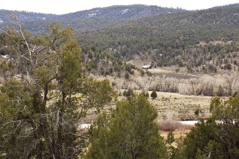
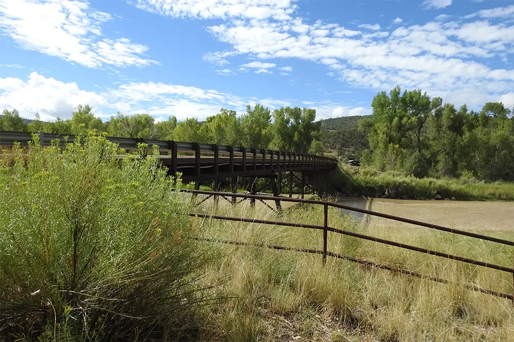
The experts said that these two rivers came together a little farther up, and so we decided to take the latitude of this stopping-point and held up for this purpose until the afternoon of the following day. A bearing was taken by the sun’s meridian and we found the place, which we named Nuestra Señora de las Nieves41“Our Lady of the Snows.” The site was so named because of the vista of snow-covered peaks. One cannot see these peaks from the campsite, which was located at Carracas, Colorado, on the north bank of the San Juan River in the vicinity of a bridge about 1/8 mile off the gravel road that goes to Pagosa Junction and on to Pagosa Springs, but they would have seen them from the high ground before descending to the San Juan River. Carracas is a deserted station on the abandoned Denver and Rio Grande Railroad line., to be at 37° 51′ latitude42Their calculations were somewhat too high. Carracas, Colorado, is located at approximately 37°15′.. Fray Silvestre went out to inspect the place where the said rivers of Navajó and San Juan come together, and found that it lay three leagues as the crow flies almost due east of Las Nieves, and that on either one’s banks at the junction itself there were good prospects for a moderate settlement.
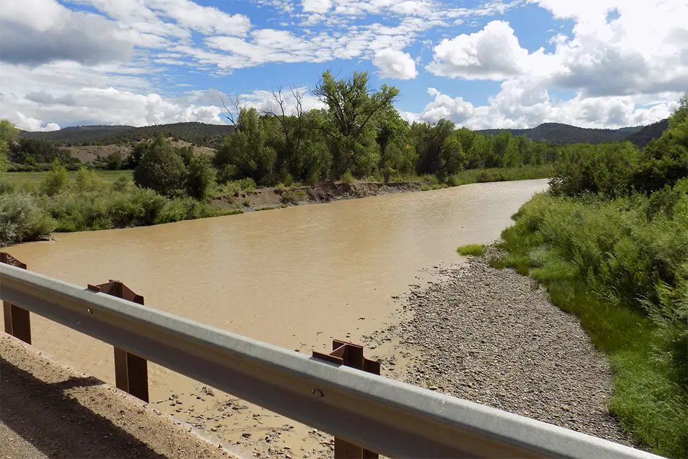
El Río de San Juan carries more water than the Navajó, and they say that farther north it has good and large meadows because it flows over more open country. Together they now form a river as plenteous as El Norte in the month of July, and it is called Río Grande de Navajó for separating the province of this name from the Yuta nation. Starting down from the meadow and Paraje de Nuestra Señora de las Nieves, there is good land with prospects for irrigation and everything needed for three or four settlements, even if they be large ones43It is interesting to note how the padres suggested sites for future Spanish settlements along the route of the march. They did this throughout the expedition, picking out the best sites which they one day expected would be thriving Spanish communities. — that is, from what we saw. On either edge of the river there are leafy and extremely dense thickets of white poplar, scruboak, choke¬cherry, manzanita, lemita, and gooseberry. There is also some sarsa-parilla and a tree that looks to us like the walnut. Today eight leagues44Slightly over 21 miles by their calculations..
Scroll to the bottom to view photos.
Notable Event
Crossing into what is now Colorado.D&E and Crew Activity
Fray Silvestre [Fray Escalante] went out to inspect the place where the said rivers Navajó and San Juan come together and found that it lay three leagues (7.8 miles) as the crow flies almost due east of Las Nieves.Miller Report Summary
The August 5 campsite is generally agreed to have been on the north bank of the San Juan River at or near Carracas, a deserted station on the abandoned D&RGW Railroad line. The camp was barely inside the boundary of the present state of Colorado. That same evening Father Escalante rode horseback eastward upstream to the confluence of the San Juan and Navajo rivers and estimated the distance at three leagues from camp, nearly due east “as the crow flies.” The actual distance is about six miles. This leads to the suggestion and possibility that the expedition reached the San Juan farther downstream to the west. However, distances and landmarks for the following few days of August tend to measure quite accurately from the Carracas site. Escalante, weary after a long day in the saddle, probably overestimated the distance to the mouth of the Navajo.
DEEEP’s Field Notes
Copyright © 2024, DEEEP Colorado. All Rights Reserved.
August 5, 1776
By Carol Hunter: DEEEP Coordinator
The Expedition entered into what is now Colorado on August 5, 1776 after a long day traveling about twenty-one miles. It had been somewhat difficult being described as “very troublesome tree growth” and “part of the time without trail”. They most likely entered Colorado by way of the Carracas Canyon, most of which is in New Mexico.
Juan Rivera (according to Baker, 2015, pages 54-55) and his Expedition of 1765 came in east of Carracas and traveled north of Chimney Rock. Two members (maybe three) of the Domínguez-Escalante Expedition had been members of Rivera’s Expedition.
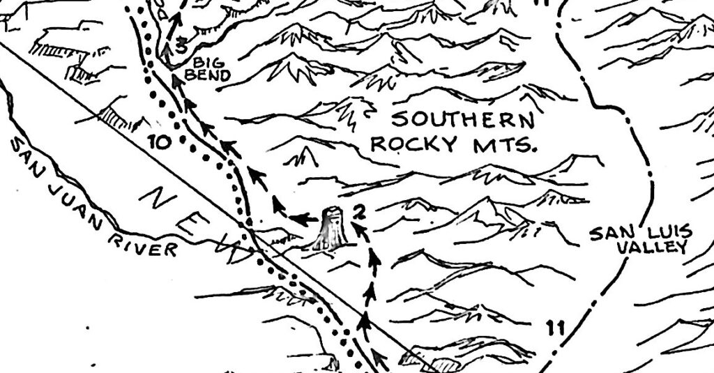 This map (Baker, 2015, page 55) shows Rivera’s route which is indicated by the arrows. #2 on the map (Baker, 2015, page 54) is listed in the map legend as “Piedra Parada” [Standing Rock now known as Chimney Rock]. The Domínguez – Escalante Expedition is shown by the dotted line. The Old Spanish Trail (OST) follows the route of the Domínguez-Escalante Expedition. Baker’s map shows that the Domínguez-Escalante Expedition and the Rivera Expedition enter Colorado in two different locations. This may explain why the two guides who were with Rivera in 1765 did not recognize where they were when they entered what is now Colorado in 1776.
Ownership of the land on both sides of the San Juan River is confusing as it is a “checkerboard” of properties owned by State Parks, U. S. Forest Service, private individuals, and the Southern Ute Tribe. The 500 road can have heavy traffic by commercial vehicles. The road leading into New Mexico (from the Colorado side) and crossing the San Juan River is listed as 557 Road. A 1976 Miller Report photo shows a bridge over the river. The bridge today is large and strong to support the heavy commercial vehicles that use it. I was told that it was built by the oil and gas companies in the area.
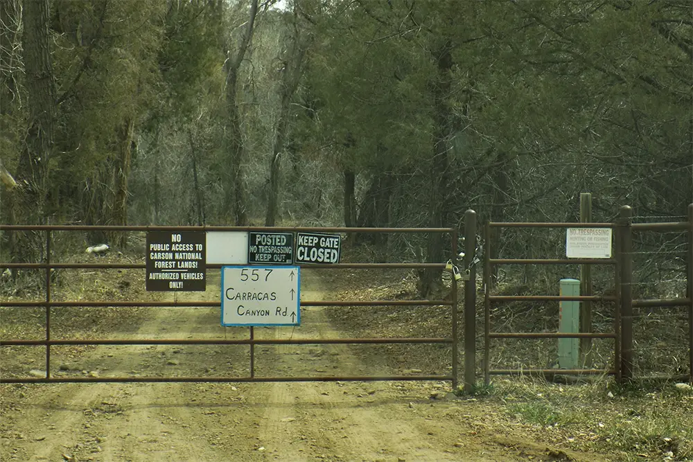
There are three gates after crossing the San Juan River on the 557 Road just feet from the New Mexico border. Several ‘No Trespassing’ signs block the way into Carracas Canyon today. A locked rusty gate on the east side of the bridge holds the signs. One reads “No Public Access to Carson National Forest Lands” and another reads “557 Carracas Canyon Rd.” The locked gate leading south into New Mexico is yellow and has two signs which read “No Trespassing and No Hunting or Fishing.” Ranch buildings can be seen from the bridge. The gate on the west side is a narrow green gate that was not locked with only a chain keeping it shut. The sign posted on the gate reads “Fishing Access -Southern Ute Tribal Waters -Tribal Fishing Permit Required to Enter.” A heavily used trail follows along the south side of the river.
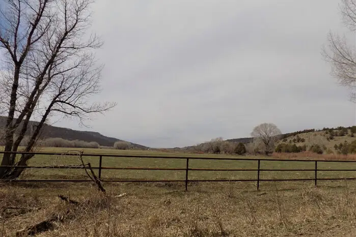
The Expedition crossed at a good ford of the San Juan into a wide valley which the journal describes as having good feed for the animals. Today the road (500 Road or Trujillo Road) is along the north side of the San Juan River.
The Journal for this day includes information about both the San Juan and Navajo Rivers. They had been following the Navajo River in New Mexico but near and south of the Colorado/ New Mexico line, it flows toward the east and they are traveling northwest. Experts in the Expedition (members who had been with Rivera in 1765) told them that the two rivers would join up ahead. The campsite for August 5th is just across the San Juan River and near what today is the junction of roads 500 and 557. Fray Escalante left the campsite and by himself went to see the confluence of the San Juan and the Navajo. Escalante writes in the Journal that the confluence lays three leagues as the crow flies almost due east of their campsite. Today, the confluence is found where the ghost town of Juanita is located. It can be reached by following 500 Road east. Just before the old town, there is a small wooden single wide bridge with weight restrictions. The town had been a stop on the Denver & Rio Grande Western Railroad (D&RGW) and several buildings remain. Carracas had never been a town, only a stop on the railroad.
An important sentence in the Journal for August 5th may explain the confusion found in the journal entry for August 7th. “Together (the San Juan and Navajo Rivers) they now form a river as plenteous as El Norte in the month of July, and it is called Río Grande de Navajó for separating the province of this name from the Yuta nation”. In the journal entry for August 6th, they traveled downstream along the river’s edge, but the river is not named. In the journal entry for August 7th, he writes that they have arrived at the river called La Piedra Parada, very near where it joins the Navajó. This was a real struggle understanding the journal entry for the DEEEP team as the Navajó River was two march days away or about 25 miles. They realized that it would only make sense if Escalante thought that the predominate river at the confluence was the Navajó River instead of the San Juan River.
