August 31
Camp Name
St. Raymond Nonnatus
Camp Name (Spanish)
San Ramón Nonato
Brightness of the Moon
93%
Distance Traveled
9 leagues / 23.5 miles
Daylight
13 hours / 6 minutes
Water Resources
Leroux Creek, North Fork River, Hubbard Creek and Grouse Spring
Journal Description for August 31st
On the 31st we set out from El Río de Santa Rosa toward the north-east, went a league and a half over good country, and arrived at another medium-sized river, which comes down from the same sierra like the previous one and with it enters into the San Xavier, and we named it Río de Santa María,140The north fork of the Gunnison River. in the leas and bends of which there is all that is needed for the founding and subsistence of two settlements. We went to the northeast four leagues and a half upstream, over those meadows and through the groves which it also has, crossing it once. We turned north, crossed the river again, entered a wood of juniper and a great deal of rock which lasted for about three miles; then we continued by going up La Sierra del Venado Alazán along the slope of a very deep narrow valley, breaking through dense clumps of scruboak; then, after going four leagues northward also, we stopped at a perennial water source, which we named San Ramón Nonato.141Located in a meadow one mile north of the confluence of Willow Creek and Hubbard Creek, in Hubbard Canyon.
One of the Sabuagana Yutas who accompanied us from Santa Mónica today ate with such brutish savagery that we thought he was going to die from overstuffing. On finding himself so sick, he claimed that the Spaniards had done him harm. This stupid notion caused us a great deal of worry, for we already knew that these barbarians, when they happen to get sick after having eaten what someone else gives them — even if he be from among their own — believe that he damaged them and try to avenge an injury which they never received. But God willed that he recovered, after he vomited some of the great mass he could not digest. Today nine leagues.142A little more than 23.5 miles.
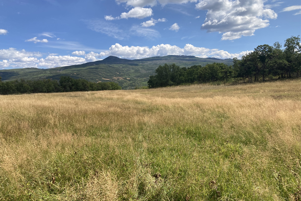
Scroll to the bottom to view photos.
Notable Event
The expedition traveled from the Santa Rosa de Lima campsite on Leroux Creek, up the Río de Santa María, today called the North Fork of the Gunnison River, then up the south side of the Grand Mesa.
Escalante made an unusual journal entry about one of the Utes traveling with them who engorged himself on their food to the point he was sickened. The padres were concerned about this worrying that he would blame them for making him sick. The matter seemed to resolve itself when he vomited and relieved his discomfort.
Miller Report Summary
Continuing up the north fork of Gunnison River for several miles, the expedition crossed that stream to the south bank, passed through the present town of Paonia, recrossed the river some two miles beyond, and continued along the north bank to Hubbard Canyon. This stream they followed northward approximately seven miles for the evening camp of August 31.DEEEP’s Field Notes
Copyright © 2024, DEEEP Colorado. All Rights Reserved.
August 31, 1776
By DEEEP Team Members
Our group spent a considerable amount of time trying to understand this route. Why did Domínguez and Escalante think that Leroux Creek flowed into the Gunnison River? Why did they not realize they were now following the North Fork of the Gunnison River until they had traveled “a league and a half over good country”? Why did the expedition cross the North Fork River, twice? Then finally what did Escalante mean saying “we continued by going up La Sierra del Venado Alazán (Grand Mesa) along the slope of a very deep narrow valley”? Well, we believe we were able to answer those questions.
First question – When the expedition climbed out of Leroux Creek, at IX Gulch, they were over a mile north of the confluence of Leroux Creek and the North Fork River. We believe they could not see the river and that they had not observed that the main fork of the Gunnison River had come in from the south, through the Gunnison Gorge, eight miles downstream. So, they climbed out onto Barrow Mesa traveling northeast. They “went a league and a half over good country” over the agricultural fields of Barrow Mesa then crossed Short Draw onto Hansen Mesa dropping down to the valley floor along Jay Creek. This 4-mile stretch brought them to the North Fork of the Gunnison River, which they now realized was a tributary of the main Gunnison River.
Second question – They continued traveling northeast for 4½ leagues or approximately 12 miles. As you follow the North Fork upstream there appears no reason to cross from the north side of the river to the south side, until you reach Garvin Mesa. This mesa comes all the way down to the edge of the North Fork. The road cut that was made on the south side of the mesa obscures the fact that this side of the river was untravellable before the road (Currently SH133) was constructed. So, they crossed to the south side of the river, probably near the current Orchard Valley Farms and Black Bridge Winery, continuing upstream for approximately 1 mile, near where the railroad crosses the river. And for the same reason – the shale bluff that comes off the northwest flank of Lennox Mesa and blocks further travel upstream on the south side of the river. They continued up the North Fork on the north side of the river, “through a woods of juniper and a great deal of rock.”
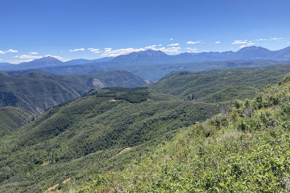
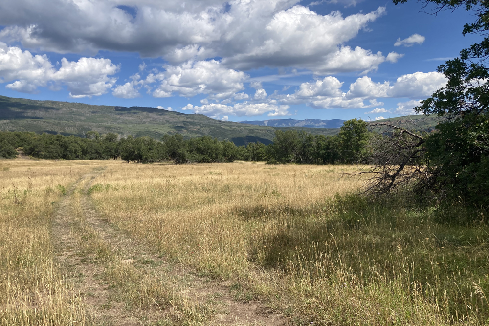
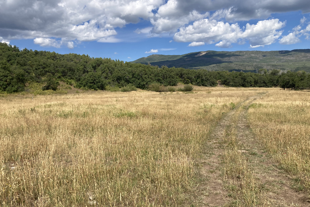
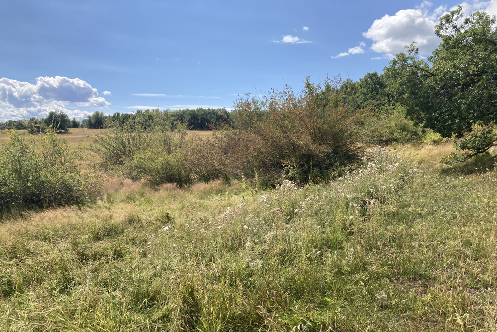
Third question – This brought them to the mouth of Hubbard Canyon nearly 12 miles from where they came down off Hansen Mesa to the valley floor of the North Fork River. At this point, they continued going up Hubbard Creek to the north, which flows south off the Grand Mesa (La Sierra del Venado Alazán). Miller, et al believed the expedition traveled all the way up Hubbard Canyon to a meadow one mile north of the confluence of Hubbard Creek and Willow Creek. The Forest Service maintained a road up Hubbard Canyon up until the early 1980’s when a landslide closed the road. The Miller researchers likely traveled up this road in 1975. Ranchers have continued to use this route to trail livestock up and down the canyon. However, landslides continue to plague the canyon, making it nearly impossible to travel. While I have ridden up the canyon many times in the 20-years I worked on the Paonia Ranger District, around 2008 I attempted another ride up the Canyon, but had to abandon the trip due to a recent landslide that horses could not cross. It is a narrow, deeply incised canyon, with slopes so steep there is no travel “along the slope of a very deep narrow valley.” We don’t believe the Domínguez-Escalante Expedition traveled up Hubbard Canyon. We believe they traveled up Hubbard Creek to where Sheep Corral Gulch comes into Hubbard from the west. They traveled up this oak-brush covered slope, traveling northward for 4 leagues, approximately 10 miles, they arrived at Grouse Spring, “a perennial water source which they named San Ramón Nonato.” The distance from the confluence of Hubbard Creek and the North Fork River is approximately 9 miles. Since the route up Hubbard Canyon does not allow traveling along the slope and the site identified by Miller, et al does not have a perennial water source and the Grouse Spring site is a very good campsite and falls within the four-league distance that Escalante described, we believe this is the route and the campsite used by the Domínguez-Escalante Expedition. This was a long and probably very difficult day. We identify the site as being located in T.12S., R.91W., SE¼NE¼ S.22, 6th P.M. or 39°00’10” N, 107°32’30”. Elevation 7,800 feet. This site is currently privately owned. We spent numerous days evaluating this route and campsite. The distance from the Santa Rosa de Lima campsite on Leroux Creek to the San Ramón Nonato campsite at Grouse Spring, following this route, is nearly 23 miles, as measured with the measuring tool on the Delta County GIS.
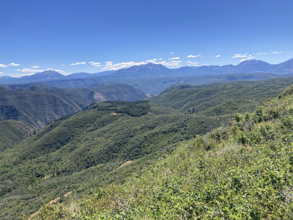
Slope above Hubbard Canyon. Photo by David Bradford
