August 15
Camp Name
The Covered Water
Camp Name (Spanish)
La Agua Tapada
Brightness of the Moon
1%
Distance Traveled
8 leagues / 21 miles
Daylight
13 hours / 41 minutes
Water Resources
A "covered pool" where they camped for the night
Journal Description for August 15th
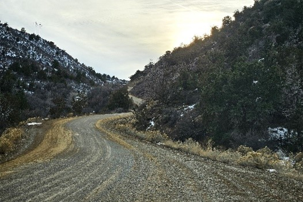
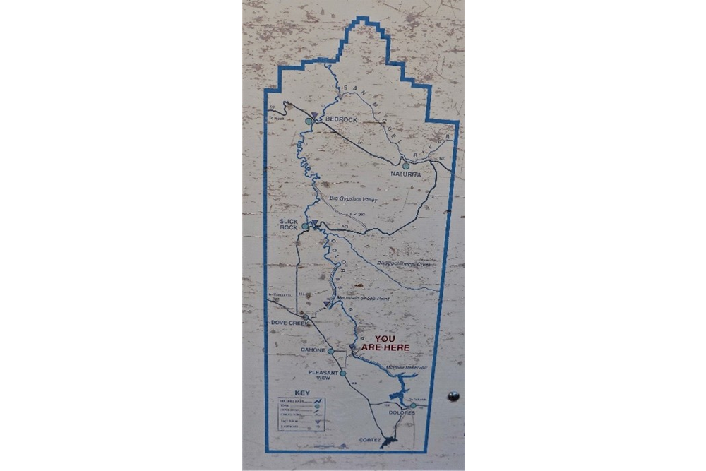
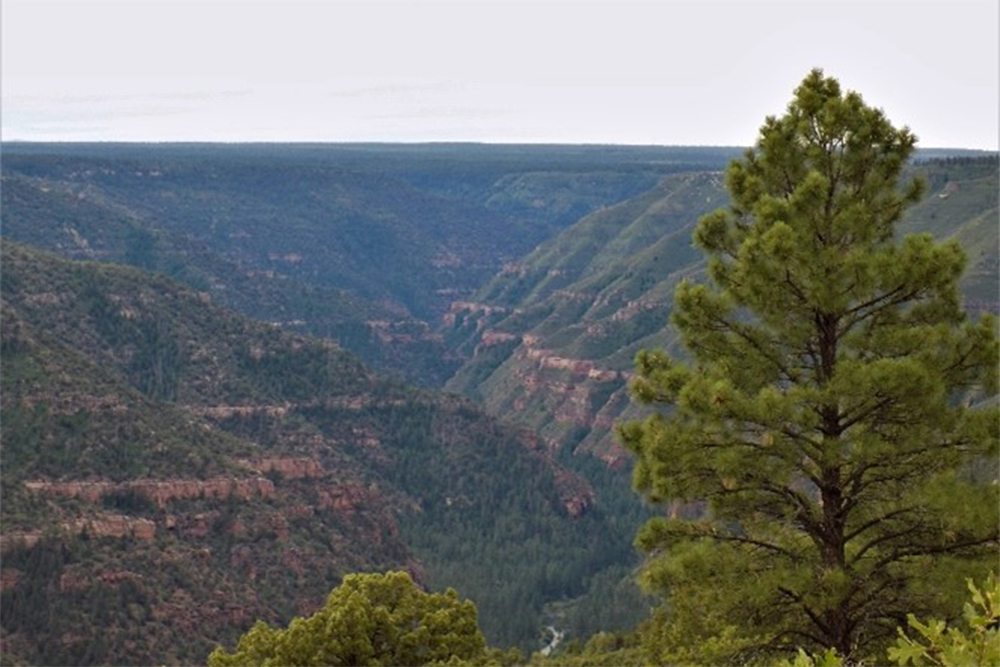
On the 15th we set out from La Asunción (on El Río de Dolores) through a canyon of some ruggedness and rock, along which we traveled a quarter league to the west-northwest. We then took to the northwest and, after a little less than a league and a half of travel, turned north-northwest and went over a sagebrush stretch of good and almost level terrain for a little more than three leagues. We turned one league northwest again and, after going another two and a half west and over the trail which, of the two into which it splits, swerves farthest from the river—the one we had been following since La Asunción— we paused to rest in a small arroyo which the experts thought had water; but we found it completely dry.74Across the Dolores from the confluence with the Narraguinnep Creek, a small canyon runs northwest-southeast. They probably went up this canyon for about ¾ mile to reach the high land and passed just east of present-day Cahone. They passed just east of Dove Creek, Colorado. It is impossible to determine the exact arroyo in which they stopped for a siesta and sent men forward in search of water.
We did not know if there would be another adequate water source in this direction, and at a suitable distance for reaching it today, and so we ordered a reconnaissance of what we were to travel this afternoon. One was found, but so scanty that it sufficed for the people only and not for the horse herds. It was covered up with rocks and wood, evidently on purpose. It consists of permanent water, not too tasty. Perhaps the Yutas covered it up because of some misfortune that overtook them at this place, for, according to what was told us by some of the companions who have traveled among them, this is what they are accustomed to do in such cases. In the afternoon we set out again and, after two leagues of travel northwest and one-half north, we arrived at the water source mentioned, which we named La Agua Tapada.75“The Covered Water.” It is impossible to determine the exact location of this “covered pool” where they camped for the night. It was probably just west of Colorado State Highway 141 and almost directly south of Egnar, Colorado. The Agua Tapada campsite was perhaps a pool formed at the end of an arroyo and possibly impounded by a small earthen dam built by the Utes. Perhaps they covered it to prevent evaporation and thus have a water supply on the high land, thereby not having to go all the way down to the Dolores River. Today nine leagues and three-quarters.76Just over 25.5 miles.
Scroll to the bottom to view photos.
Notable Event
Finding the “Covered water”.Miller Report Summary
On August 15 the padres traveled from their Dolores campsite “through a canyon of some ruggedness and rock” for about three-quarters of a mile westward. After again reaching the high ground the trail turned once more to the northwest. During the day the expedition passed slightly east of present Dove Creek and (on August 16) west of Egnar to enter the upper reaches of Summit Canyon. The August 16 camp was located just about on the present Utah-Colorado boundary.DEEEP’s Field Notes
Copyright © 2024, DEEEP Colorado. All Rights Reserved.
August 15, 1776
By Audrey Garcher: Dove Creek Historian (and her family)
Coordinator’s notes:
They traveled 9 ¾ leagues or 25 ½ miles on August 15, 1776, The Journal gives the following information on where they traveled: ¼ league west-northwest, 1 ½ leagues northwest, turned 3 leagues north-northwest, tuned 1 league northwest, 2 ½ leagues west and ended in a small dry arroyo. In the afternoon they traveled 2 leagues northwest and then 1.2 league north where they stopped for the night. Audrey and her family, who know the area well, explain how they interpreted the Expedition route for that day.
Audrey Garcher’s notes:
I have a theory of what canyon the expedition may have followed out of the river canyon. I conferred with my son, Levi and my husband, Steve regarding locations. My son farms some land that connects to the BLM on the west side of the river and south of the canyon I have in mind. Levi has hunted some of the area in question and has been down the trail to the river. Levi and Steve said the travelers would have stayed to the bottom and south side of the canyon as the north has more rock rims. Steve feels this canyon would have been easier to travel compared with the current road to Bradfield’s.
Starting at the campground, proceed up the river to the north. You will go around a bend to the east, then northerly, then westerly. As the river starts to turn northerly again, there is a canyon that goes to the west. I haven’t found a name for that canyon, but I am still looking. This canyon goes to the west and comes out on top just to the north of the corner of Rd 16 and Rd P. There is mention in the journal of going approximately a league and turning up a canyon and mentions some rugged rocks and rims. Levi said there is a slick rim toward the northwest of the upper part of the canyon. Steve also mentions old timers mentioning going down a trail to the river from the old log house on road P just west of the canyon as it tops out. He even mentioned one old timer going off from the gravel pits down to the bottom with his dune buggy.
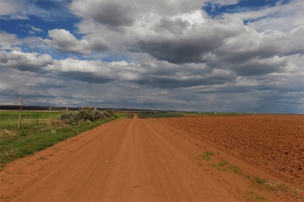
I proceeded on Rd P west to Rd 15 north, then to Rd M west. I followed Rd M until Rd 12 north, to Rd H.6 west, to Rd 9.9 north, to Rd H west, to Rd 9.7 north, to Rd E west, to Rd 7.7 north, to Rd C. As I traveled this, I took pictures of the view along the way to show what they could see distance wise toward the direction of the supposed route to Egnar. I did take a few pictures from Rd 16 & Rd P of the top of the canyon.
I have copies of a 1982 topographic map from McPhee Dam area north toward the Egnar area. I’m trying to locate my pictures with a location on the map. While traveling, I clocked the distance I went to be 30 miles. My goal was to stay as close to the river area as possible. I could have traveled closer to the east, but that is through the forest and you can’t see the views. I feel that my option was the expedition’s also, as there was mention of sage and level terrain, and the area I traveled was more open and flatter.
I questioned Steve regarding the government trail in question. It is located a few miles north of Rd P & Rd 16. Just what I have seen in the past, it would be hard to do and Steve said it was done mostly by a small dozer, but only part way. A lot has grown over with brush and rocks have fallen. Harold Bradfield had requested they not complete the trail to the river as it would be a way for his cows to get out of the bottom.
