August 13
Camp Name
No name
Weather
Good sunny weather
Brightness of the Moon
1%
Distance Traveled
0 leagues / 0 miles
Daylight
13 hours / 43 minutes
Water Resources
Dolores River
Journal Description for August 13th
On the 13th we made camp, both to allow the padre to improve some more in order to go ahead, and to take a bearing on the polar elevation of this site and meadow of El Río de los Dolores, where we found ourselves. The bearing was taken by the sun, and we saw that we were at 38° 13½’ latitude.69Their calculation is too high. They were actually at 37° 29′ N. Here there is everything that a good settlement needs for its establishment and maintenance as regards irrigable lands, pasturage, timber, and firewood. Upon an elevation on the river’s south side, there was in ancient times a small settlement of the same type as those of the Indians of New Mexico, as the ruins which we purposely inspected show.70In this vicinity today (June 1975) an Anasazi site called “The Escalante Ruin” is being stabilized and a museum is being constructed by the U.S. Bureau of Land Management. This may or may not be the one mentioned in the journal. Padre Fray Francisco Atanasio got better, and we decided to continue our journey the following day.
Footnote Discussion: The reading was about 52 miles to the north, between Naturita and Nucla using Google Earth from the Escalante Ruin north to 38° 13½’
Scroll to the bottom to view photos.
Notable Event
Discovery and description of an Ancestral Puebloan site.D&E and Crew Activity
”Padre Fray” Domínguez is feeling better. They took a bearing reading at the site and also inspected the ruins they discovered.
Miller Report Summary
Two days were spent here, allowing expedition personnel to visit and examine an ancient pueblo located on the west bluff opposite their campsite.DEEEP’s Field Notes
Copyright © 2024, DEEEP Colorado. All Rights Reserved.
August 13, 1776
By Tom West: DEEEP Team Member
While Domínguez was resting at their camp, Escalante went to visit a nearby ancient ruin on a nearby hill across the river. This ruin was on the south side of the river. This made people wonder why Escalante decided to cross the river.
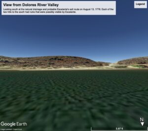
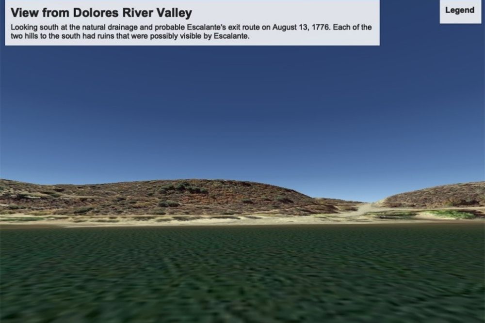
It is possible that Escalante saw the ruins from the camp in the river valley. This possibility has support from a man who lived in Dolores a long time. He reported that two ruins on hills south of the river could be seen from the river. These two ruins were reported to be gone by 1976. He also mentioned that the Escalante Ruins near the Canyons of the Ancients Visitor Center and Museum could not be seen from the river.
The Domínguez-Escalante camp was close to an easy exit from the river valley through a natural drainage. This exit was near two ruins about 0.8 miles south of the Escalante Ruins. It is possible that one of these two ruins were described by Escalante and not the Escalante Ruins.
There were many Puebloan sites around the big bend of the Dolores River forming a larger Ancestral Puebloan community. The two ruins near the natural drainage were part of this community as were the Escalante Ruins. There is some doubt that the Escalante Ruins were recorded by Escalante, yet there is no doubt that he recorded one of the ruins in the larger community.
The Escalante Ruins are claimed to be the first ruins in Colorado recorded by Europeans. However, in 1765, Juan Rivera recorded ruins near the Los Pinos River in his journal. This is 11 years before the Domínguez-Escalante Expedition. Clearly, the Escalante Ruins were not the first ruins observed by Europeans in Colorado. Rivera’s journal was discovered in 1969, but the widely held claim has not been updated. This shows that it is hard for new historical information to correct long held historical beliefs.

Where the Domínguez-Escalante expedition exited the Dolores River Valley to view some ruins on 8-13-1776 and where they exited the river valley on 8-14-1776


